May we give you a quick overview?
Anything goes!
The "Anything Goes" hackaday prize challenge has a fitting slogan. It matches our effort to build a Distributed Ground Station Network for tracking satellites and especially tiny CubeSats. Providing CubeSat operators with information where their CubeSats are is really important, because in right after launch, they sometimes need to wait and "scan" for their CubeSats' signals. In this crucial phase, the satellite is on their own and can be to hot or too cold or running out of battery power. This happened before and resulted in loss of CubeSats making them literally space debris.
To support those missions, we sarted DGSN several years ago and constantly worked on the concept and first prototypes. We are now at a stage, where hardware needs to be built and deployed for first field tests. We now know, that DGSN will work. We still need to know, how good it will work under real conditions. Thus "Anythings goes" is a nice statement, but we want to know how good DGSN will "go". Let's find out and build it!
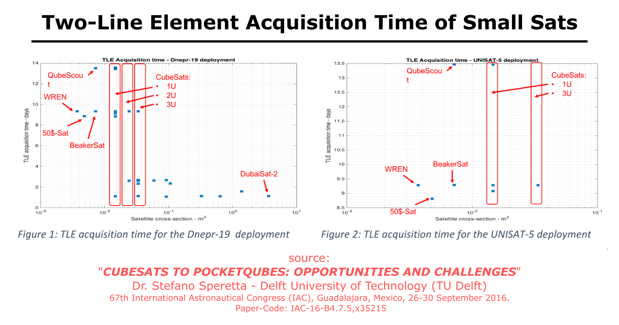
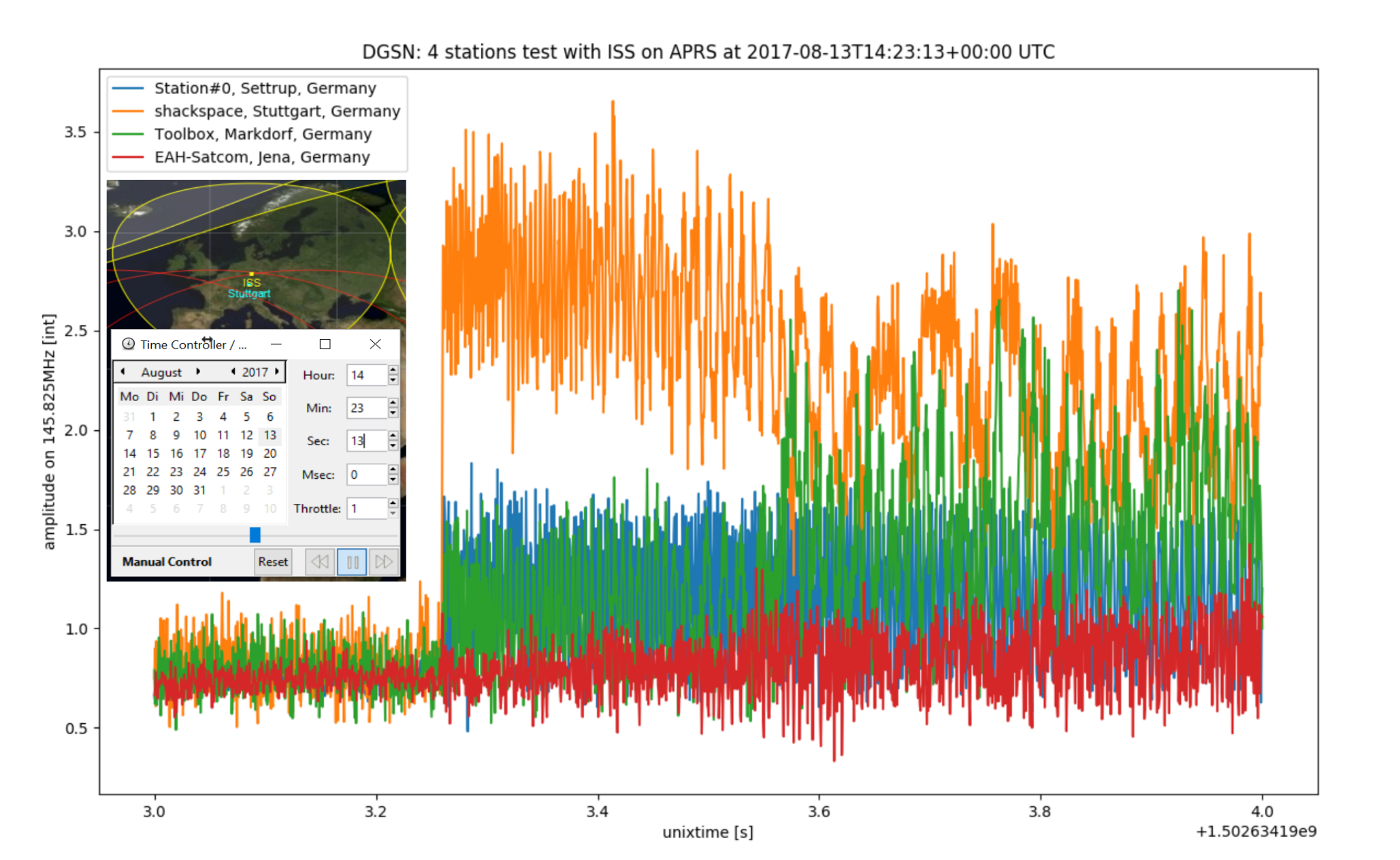
Update: Graph above
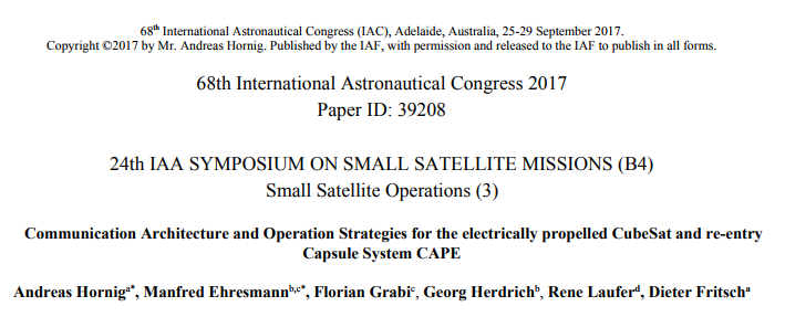
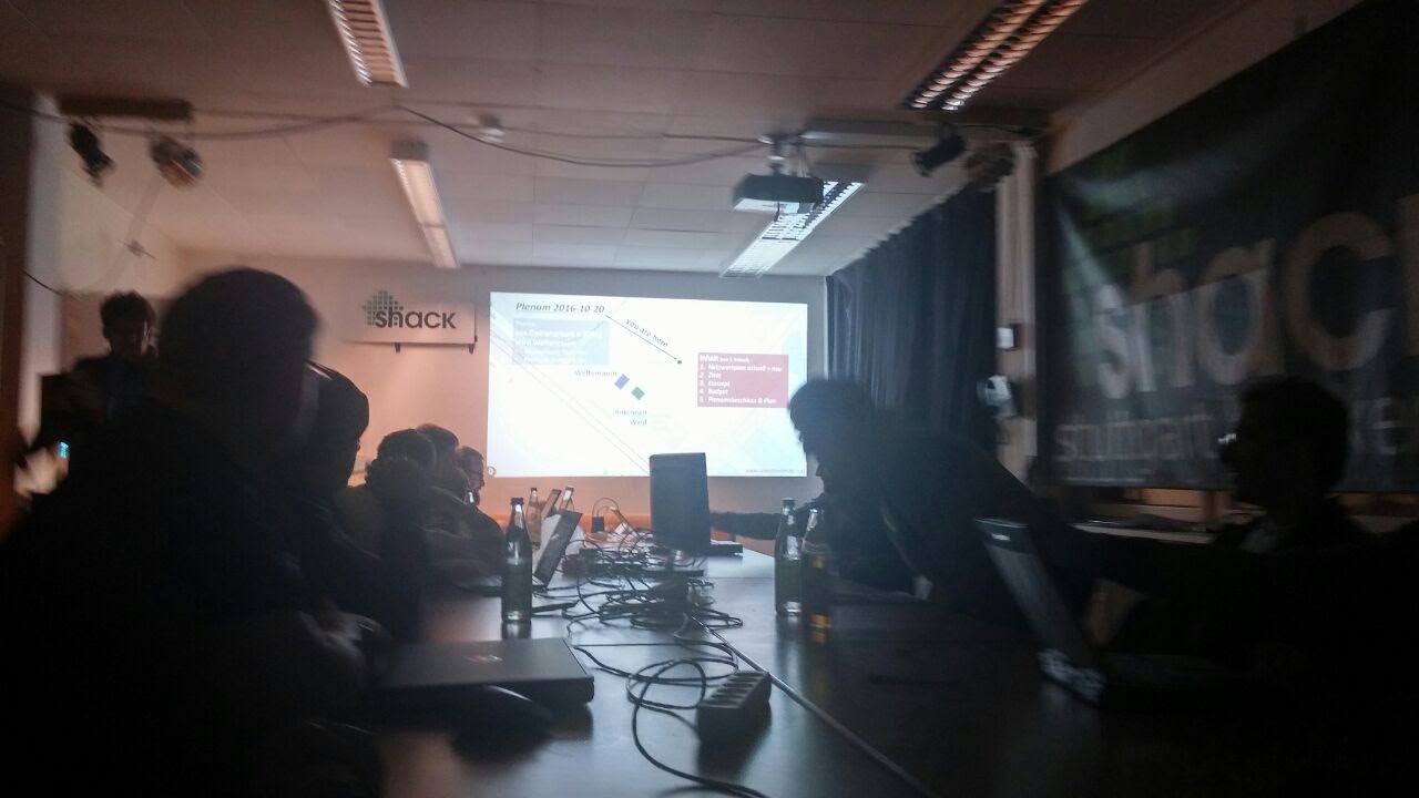
During the International Astronautical Congress 2016 (IAC) the PocketQube team by TU Delft showed a nice graph how long it usually takes for NORAD to release the Two-Line Elements (orbit data) of different small satellites with respect to their radar cross section. The essence is that it takes longer when they are smaller. It can be up to 14 days and that could already be too crucial for some missions. So it was great for us to have been presented the current status of DGSN at IAC to be in close contact with small sat operators. We will look forward to help and assist them during their various missions! (for the full IAC2016 paper, click here)
Citizen Science supports Space Operations!
Space for everyone! You can help space operations within a collaborative team. Telling where the satelite signal came from is only possible when 5 or more people's ground stations received it. So here is where the citizen science comes into play in several ways.:
The basic principle of tracking can only be achieved in a global team of "sat spotters". The more people setting up ground stations there are, the more often, the more precise and the longer the cube sat can be tracked. Community satelite spotting will provide additiona data to the space operator.
The product of it will be stored in an open data base and provided to the satelite operator as well as the community. We believe, that the community can use the data in creative ways and find results in the measurement data beyond the intended goal of tracking cubesats. We forsee that the community will use it for locating thunderstrikes, correlating the atmospheric conditions and and air mixtures by measuring the dampening of the signal on its way from the satellite to the ground station, using the GRAVES radar station in France for passive radar or something yet out of our imagination. People will do whatever they can and what is fun! We support this with DGSN.
We are starting it small, with only 5 of our own ground station and tracking everything that's flying ober Stuttgart. This is our challenge to show you how to do it. You can already be part building it. For the next stations, the community will take over and make it awesome!
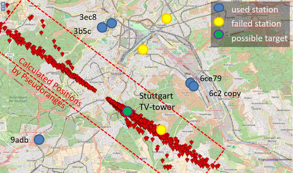
Summarizing: YOU are important, because the more people are setting up nodes, the better we can track signals! See, the TW-tower tries to hide, but we all will find it! Be a node!
[Fig: first test with 8 stations]
Assistive
Of course DGSN can do more than just track satellites and help small sat operators to find their sats earlier. With Software Defined Radio it is easy to track other signals. So tracking airplanes and provide thier tracks and ADSB signals (DGSN can track it and ADSB has the track in it anyway, so it is a redudancy check) to everyone. And also small a neighborhood help" can be done. We now have Freifunk (a free wifi-internet connaction initiative) attached to our Antenna Forrest, as...
Read more » hornig


 Pierros Papadeas
 Jean Pierre Le Rouzic
 glgorman
 tlankford01
Have also a look at https://tinyGS.com . The 'stations' receive LoRa satellites with just an ESP32 connected to a simple ground plane antenna. The ESP32 gets the satellite ephemeris through the home WiFi and sends the received telemetry using MQTT. It also uses Telegram.