Mapper Robot
A raspberry pi robot with camera to make maps
A raspberry pi robot with camera to make maps
To make the experience fit your profile, pick a username and tell us what interests you.
We found and based on your interests.
Hi!!
We have this project a little bit forgotten since we finished our Final Degree Project, we'll try to continue working in it next months but now we're in a Master Degree and don't have enought time.
Our first objetive right now is translate our project report from spanish to make it more accesible.
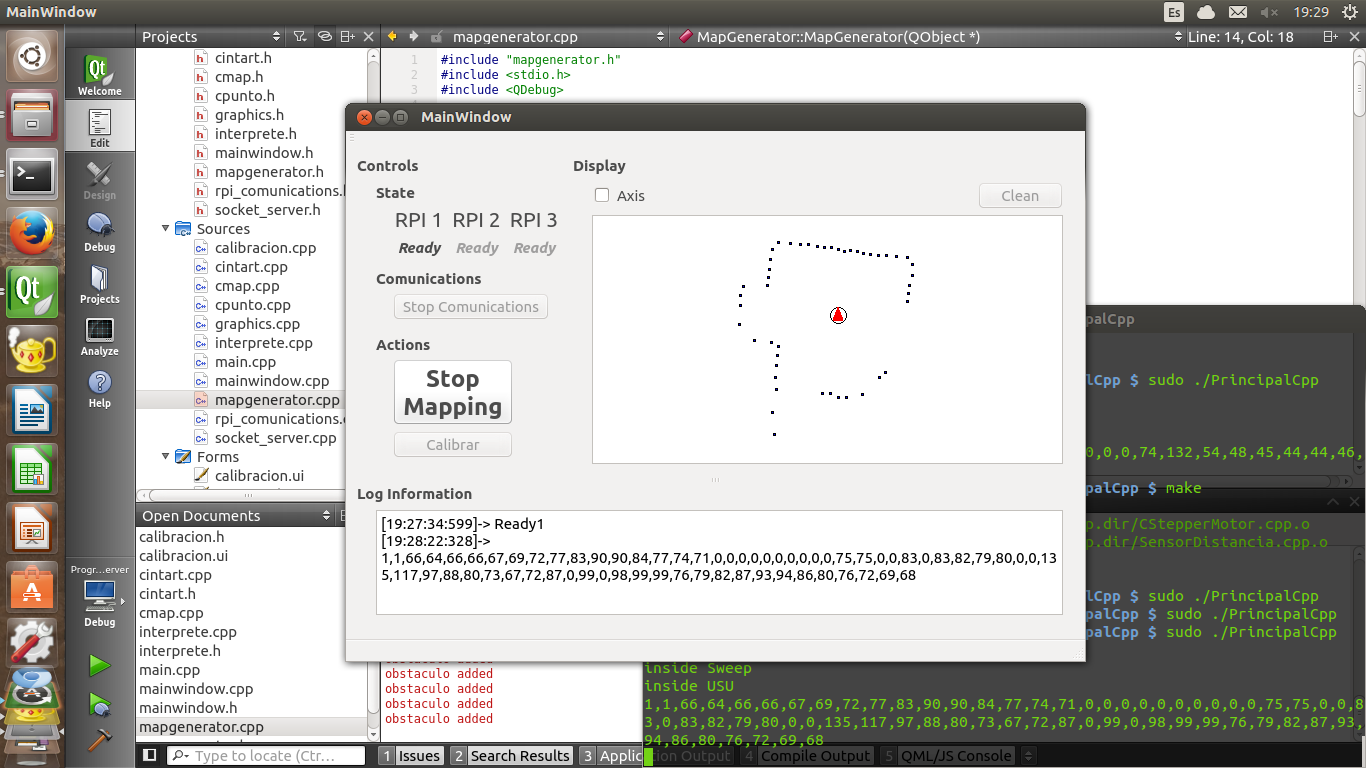
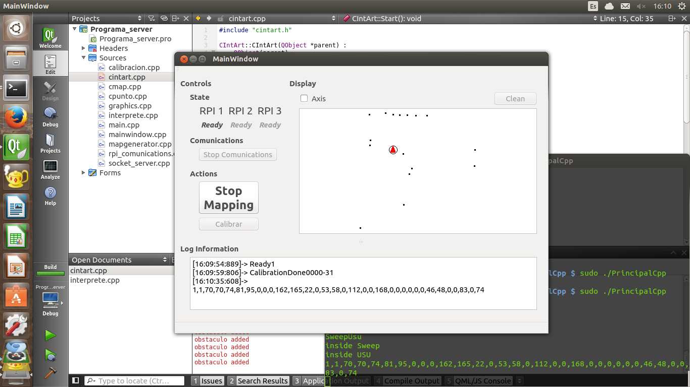
These are some pics from the final result.

finally have a completed robot, and now we've started making some tests. Tomorrow we'll finish the second one.

Create an account to leave a comment. Already have an account? Log In.
Become a member to follow this project and never miss any updates
By using our website and services, you expressly agree to the placement of our performance, functionality, and advertising cookies. Learn More