The currently available GIS systems are limited by the network they are used on,more often than expected conventional GIS use standard networking infrastructure like routers/switches and physical ethernet cables to connect deployed sensors to a data aggregation node typically within a kilometre of deployed sensors.
this type of infrastructure comes with a very large cost of equipment and a heavy penalty in terms of setting up the infrastructure for example laying down new cables,providing power to these devices and much more.
This leads to the cost of GIS systems deployed by the government to reach as high as 15 million dollars per project (@India)
By using this technology the massive amount of time and cost that goes into establishing a network infrastructure will be eliminated which means policies are realized at a much faster rate and at the same time at a lesser cost.
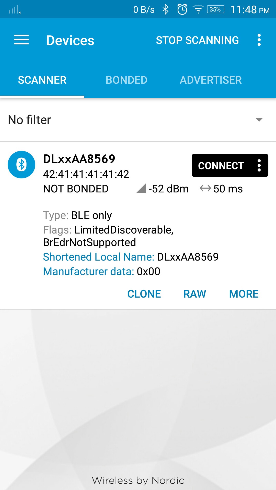
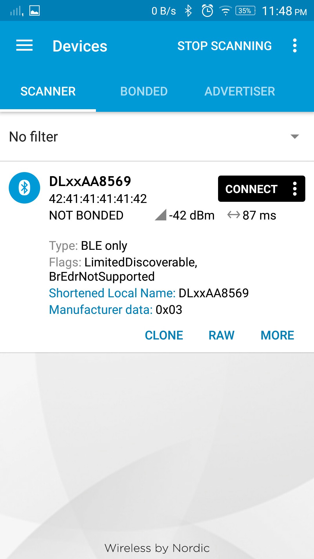
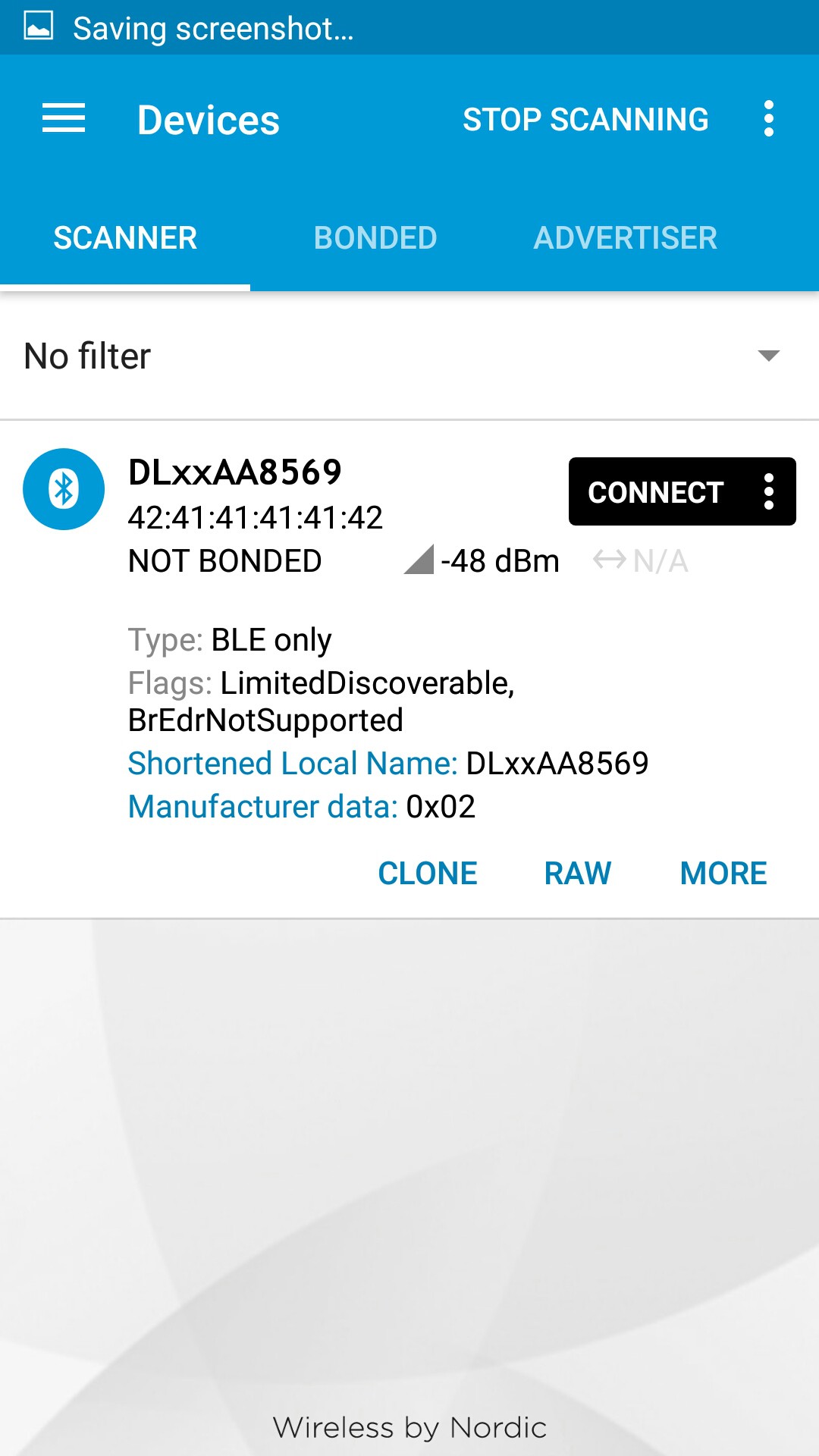
- these are the screenshots of the App that receives the BLE advertisement packets
- the Manufacturer Data field contains the information as a 4 point graded scale (0-3) based on the road quality ( Smooth,uneven,bumpy and Rough)
![]()
![]()
![]()
 Pranav Gulati