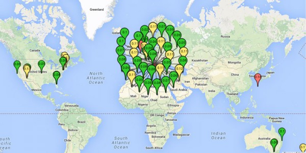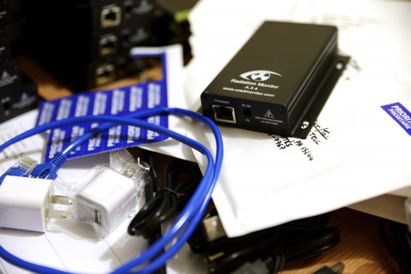
Some of you might have noticed the high number of units that recently appeared on the map around Timisoara. They are part of a new batch of units with some of them already in transit to locations all across the Globe. The units were tested and calibrated manually, to make sure they will function perfectly. As they reach their destinations, the spiral formation on the map will unfold, and we will see the new units being moved automatically at the new coordinates.
It's been a huge effort developing enough units to cover all the major locations but it's worth it. Thank you to all of you for supporting this project.

More improvements will follow shortly, focusing mainly on improving the webportal and the data access. A mobile application is also scheduled for before the end of this year.
 Radu Motisan
Discussions
Become a Hackaday.io Member
Create an account to leave a comment. Already have an account? Log In.