 jlbrian7
The next step was to create an interactive map, and test the capabilities of the Garmin device, just to see what could be accomplished.
I grabbed an image off of a google search, opened it up in Gimp, and cleaned it up so that I just had the lines that I wanted:
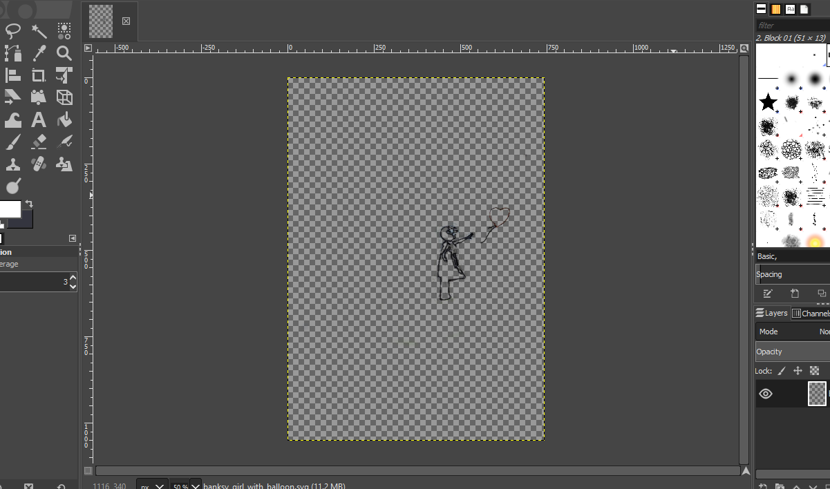
After I was happy with what I had I exported the image as a .tif, and then went to qgis.
First I added an OpenMaps layer, and then imported the .tif image using the Freehand raster georeferencer plugin. This made it easy to position the image where I wanted to walk, since there was no geo info with the image I just created.
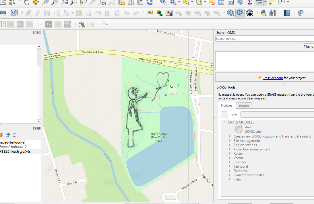
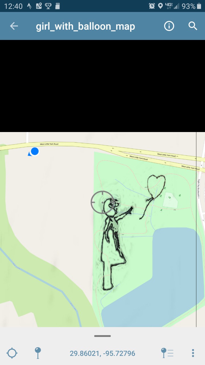
Now that the image is in place, a layout is created, and saved as a pdf, which was then transferred to my phone, and imported into the Avenza Maps app.
Discussions
Become a Hackaday.io Member
Create an account to leave a comment. Already have an account? Log In.