EDUCATIONAL PURPOSE.
We all know how much an interactive map helps students in learning.
The possibility of independently lighting up one by one all the most important cities in the world, added to the presence of the display with scrolling texts, offers a vast range of possibilities.
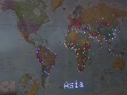
For example, the teacher can create animations with which to integrate the lesson, he can make tests, he can organize team games, with quizzes concerning continents, states, capitals...
NETWORK AND IOT FUNCTIONS
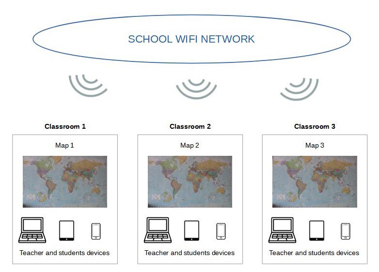
Thanks to the ESP8266 microcontroller connected to the school's Wifi network, all the maps of each classroom can be controlled and programmed remotely.
This gives the possibility to put the maps on the net and to update them all in order to unify the training experience.
Furthermore, thanks to the IOT functions of the controller, teachers and students can interact with the map via PC, tablet or smartphone!
VARIANTS.
Obviously you can modify the project in order to animate a map for example of the United States of America or other states or continents...

But not only geography teachers can benefit from this technology.
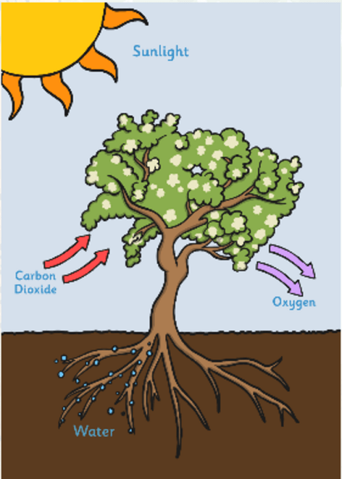
For example, tables of the human body, or botany or many other subjects can be animated!

MADE BY STUDENTS!
This project could be done by students as a lab activity.
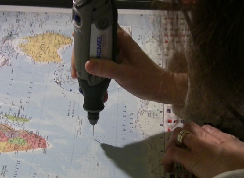
From an educational point of view it's a fantastic thing: they learn a subject, making themselves the educational tools for them and for others, actively participating in the training activity!
GENERAL DESCRIPTION.
The world is mine, the world is yours, the world is ours!
With this project I wanted to embrace the world and illuminate it with many colors
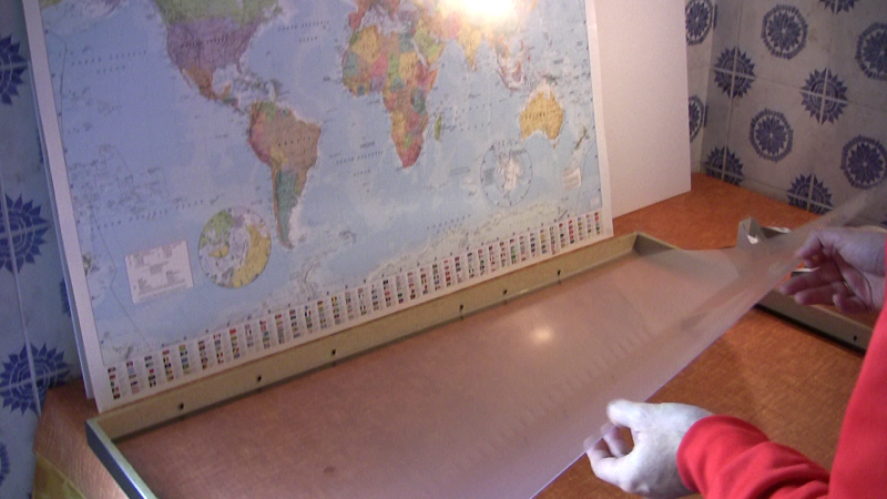
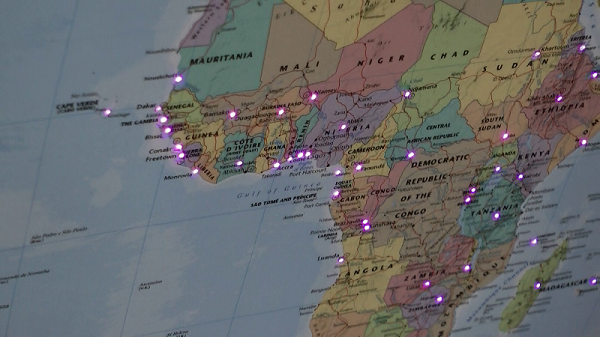
I bought a world map, put it in a frame and illuminated all the major cities of every continent using fiber optics.
WHY FIBER OPTICS?
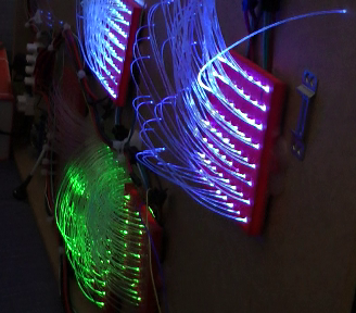
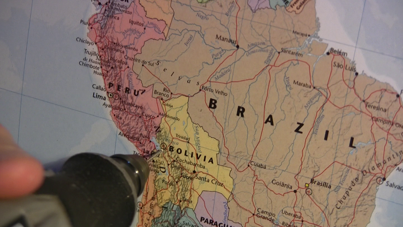
Because having a very small diameter, they manage to illuminate the center of a city, without covering the writings or important parts of the map: with LEDs it would have been impossible to achieve this!
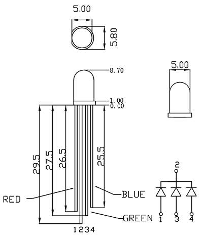
Each fiber is controlled independently and transmits the light coming from an RGB LED.
HOW DID I DO?
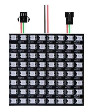
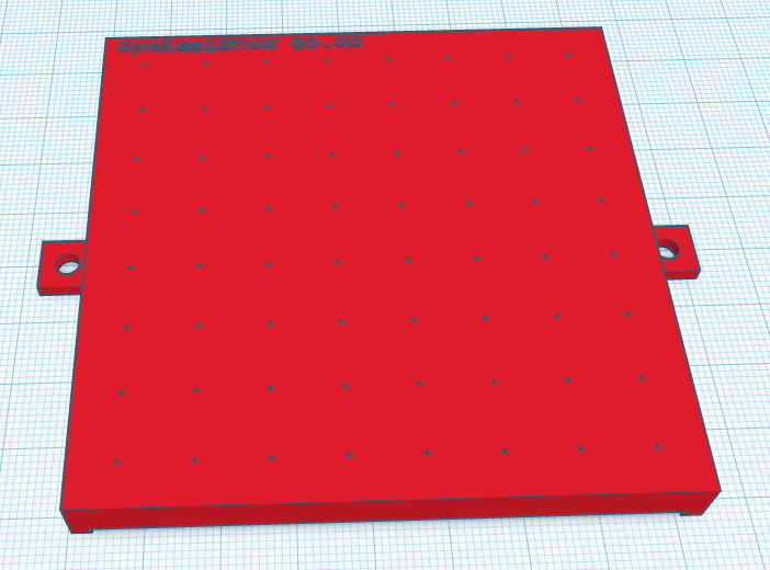
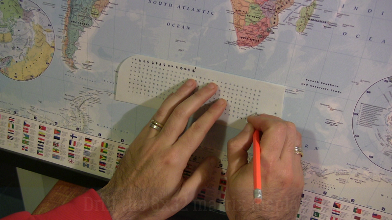
I created a system that I called OpticalShow (see OpticalShow Hackaday project) which consists of a 3D printed plastic mask that interfaces with an 8x8 RGB matrix, with a small hole of 0.75 mm in diameter near each single LED.
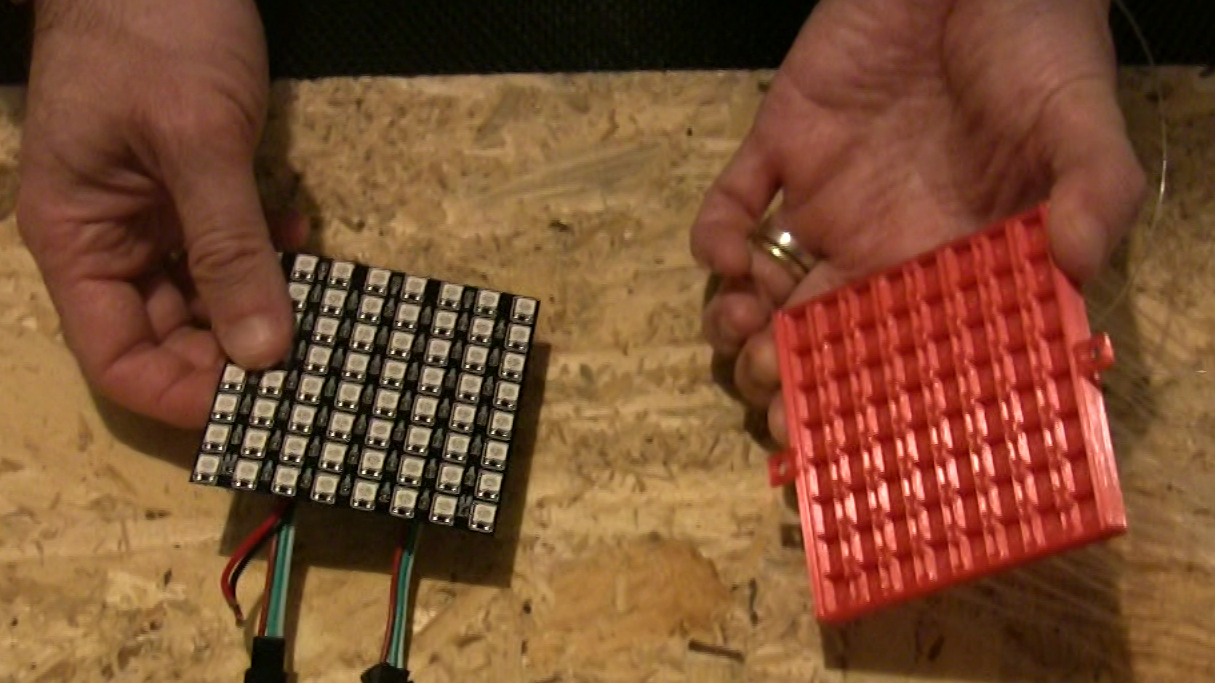
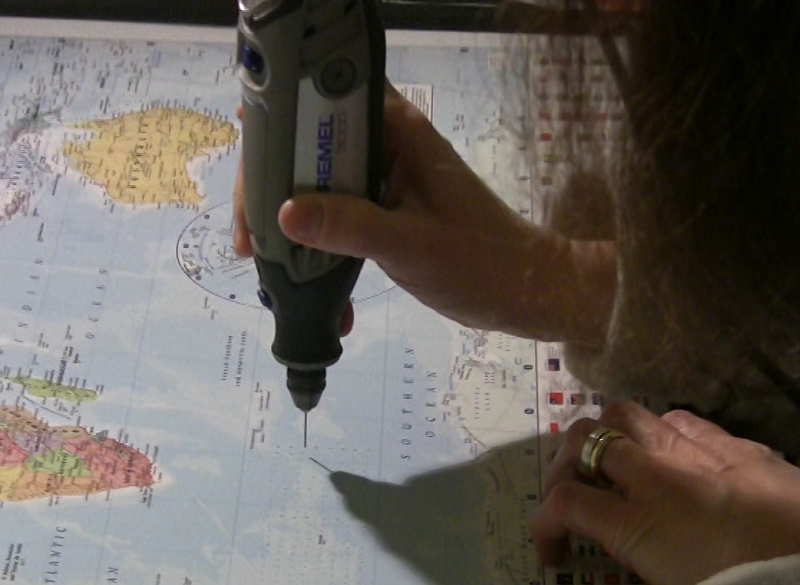
The 0.75 optical fiber is inserted into the hole, which transmits the LED light.
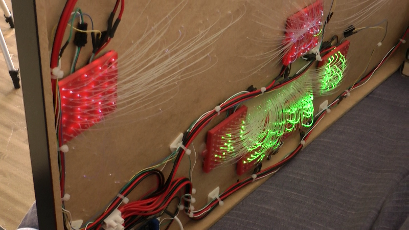
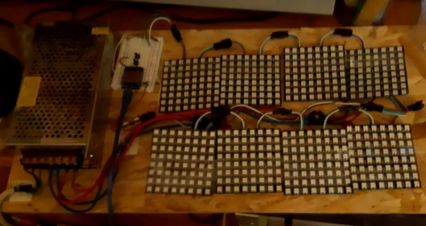
I connected n.8 8x8 led matrices.
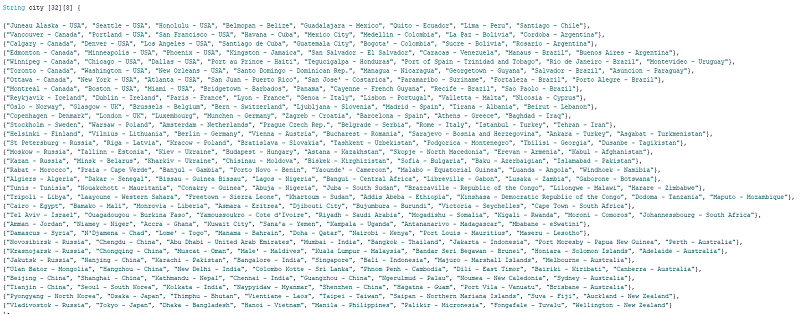
With the first four I lit up the 256 cities of the world that I chose.
With the remaining four I created an 8x32 display in the lower part of the map, where you can view fixed and scrolling texts.
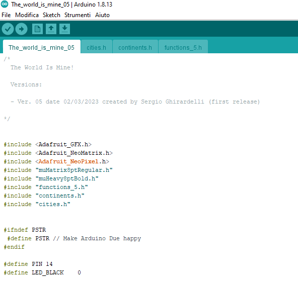
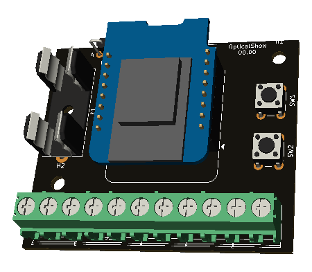
The animation of the LEDs of the matrixes is performed with a Wemos Mini microcontroller that I programmed using the Arduino IDE application.
LICENCE
This work is licensed under a Creative Commons Attribution-ShareAlike 4.0 International LicenseCreative Commons Attribution-ShareAlike 4.0 International License.
CITIES ANIMATION
As an example of application in education, iIn the following video there is the random complete animation of the cities.
 Sergio Ghirardelli