 Tom Mladenov
The general idea was to preserve the Orbit Map in a way which resembles Mission Control in Houston. The MOCR (Mission Operations Control Room had a series of huge projection displays at the front of the control room). These showed orbit tracks, launch graphs and other live projections during various mission phases.
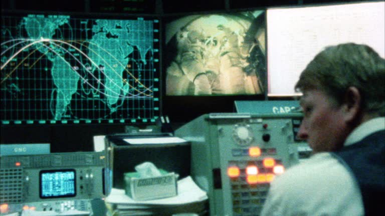 The orbit maps themselves are were also used in the control room and can be seen in below frame on the right during the Apollo 13 mission:
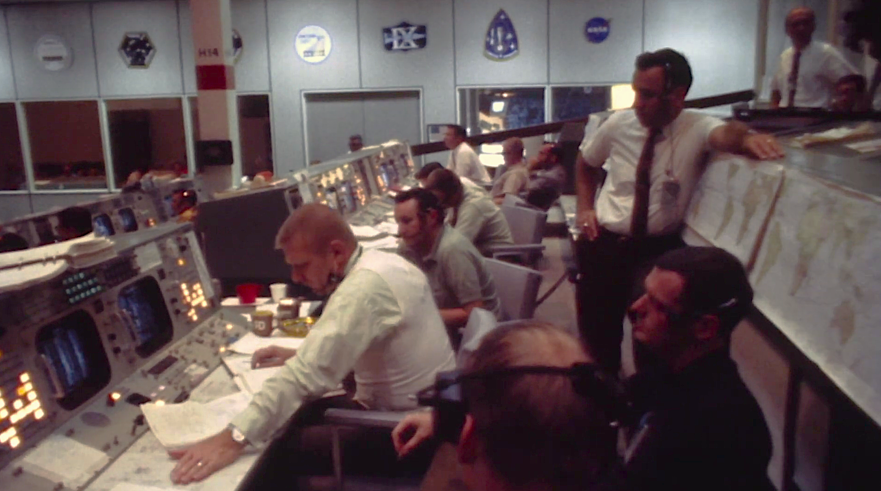
A nice technical drawing of the room can be found on the Honeysuckle Creek website, a well documented Apollo tracking station in Eastern Australia.
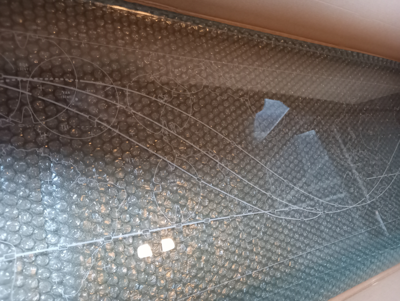
I ended up going for an acrylic LED concept and started scanning the entire map in sections, stitching them together and then calibrating it such that it was true to size, loading the PNG into Inkscape and tracing the sections that should be lighting up on the map. Below image shows in magenta the to-be-laser engraved traces, mirrored as they should be lasered on the back side of the plexiglass.
The final magenta SVG shapes were sent to the laser engraver along with the plexiglass material
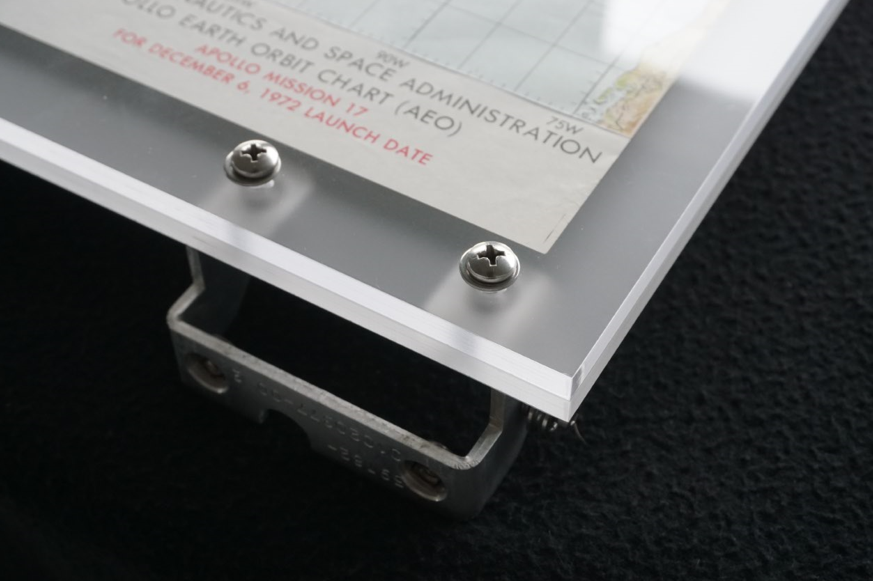
Next up was the alignment and plexiglass sandwich the map between a milky plexi back-sheet and the engraved clear front sheet (engraved on the side facing inward), including some brackets for the stands.

Next up will be the lighting and pulley system for the spacecraft position indicator.
Discussions
Become a Hackaday.io Member
Create an account to leave a comment. Already have an account? Log In.