 Goat Industries
The Ublox C94 M8P has been configured to provide a heading and distance to my nearest town :
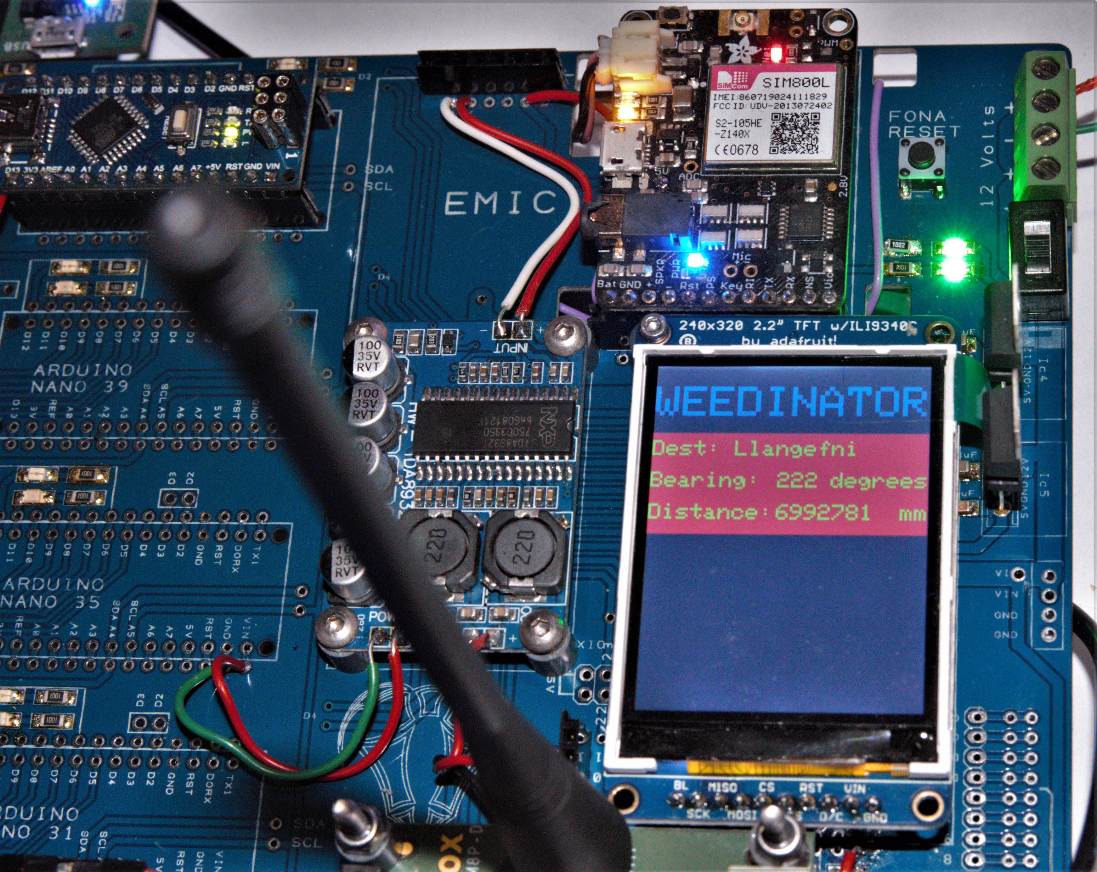 Obviously I don't want the machine to actually go there - it's just a test to see if I'm getting correct results.
The software used is by SlashDevin - NeoGPS. Special attention was required to get the baud rate selected properly for all functions of the Ublox to work (19200), most importantly it's ability to get a fix between the Rover and Base station. The base just sits on a pole somewhere and using the two as a pair error correction due to atmospheric anomalies can be achieved.
Discussions
Become a Hackaday.io Member
Create an account to leave a comment. Already have an account? Log In.