This week the boat went back to the pond and actually made some oceanographic observations (took temperature measurements).
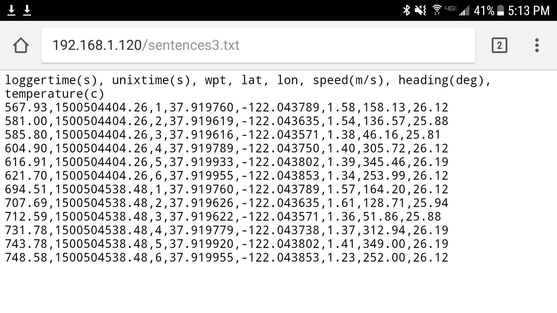
When the boat reaches a waypoint, the payload computer saves position, time, and temperature. From the payload computer web server you can download the data.
I spent quite a lot of time looking into the best way to format the data. I still would like to be able to automatically upload data to a common location and share it on social media, but for now we just have the local web server on the boat.
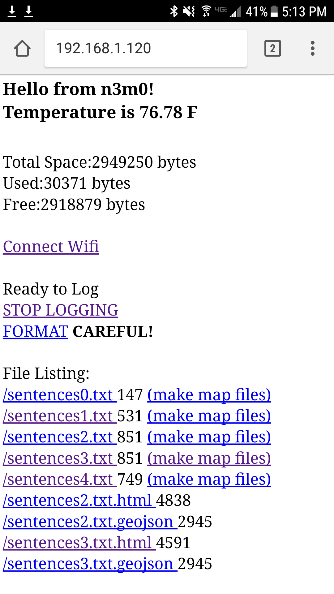
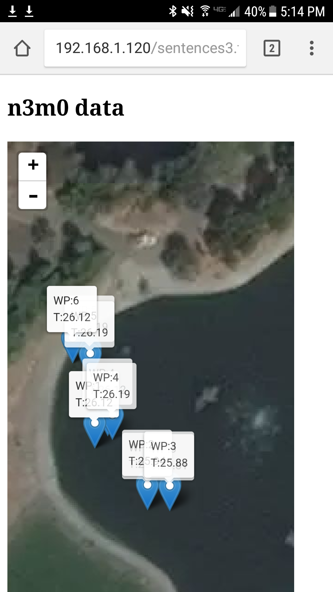
But the interface is pretty good I think. There is a basic web page that shows the files on the payload computer, and you can download them as a csv file or it will create a html page that uses leafletjs to display the measurements. A geojson data file is also created for more mapping options. The web page also lets you enter your wifi credentials, and if no wifi service is found the boat will create an access point and you can connect your phone/laptop/tablet to that.


 Mike Holden
Discussions
Become a Hackaday.io Member
Create an account to leave a comment. Already have an account? Log In.