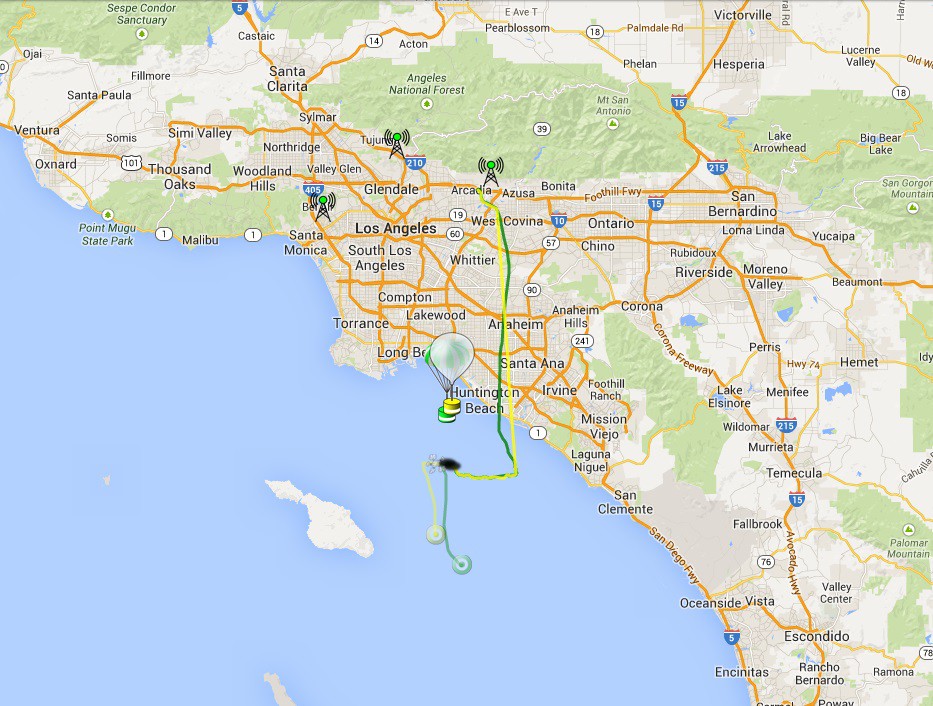
Hey folks! Finally launched CUBEX-1 on May 24th, 2014 at the Layerone Convention. The payload consisted of CUBEX-1 and a Leo Bodnar B tracker. CUBEX-1 transmitted SSDV images (JPEG) at 320x240 as well as tracking telemetry on 434.460Mhz 300baud 8n2. The B tracker was an APRS beacon. The payloads reached a maximum altitude of 33698m (110,560ft) and transmitted down 50 images during flight. After burst, the aprs tracker stopped and CUBEX-1 lost GPS, however, it continued to transmit SSDV images. As predicted, the estimated landing zone is the pacific ocean.
There is more info on the flight available here: http://habexproject.org/cubex/
Images from flight:
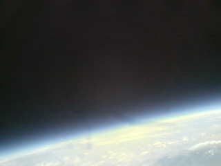
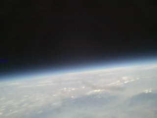
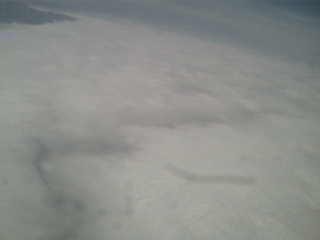
 More Images: http://ssdv.habhub.org/CUBEX1/2014-05-24
Flight Path:
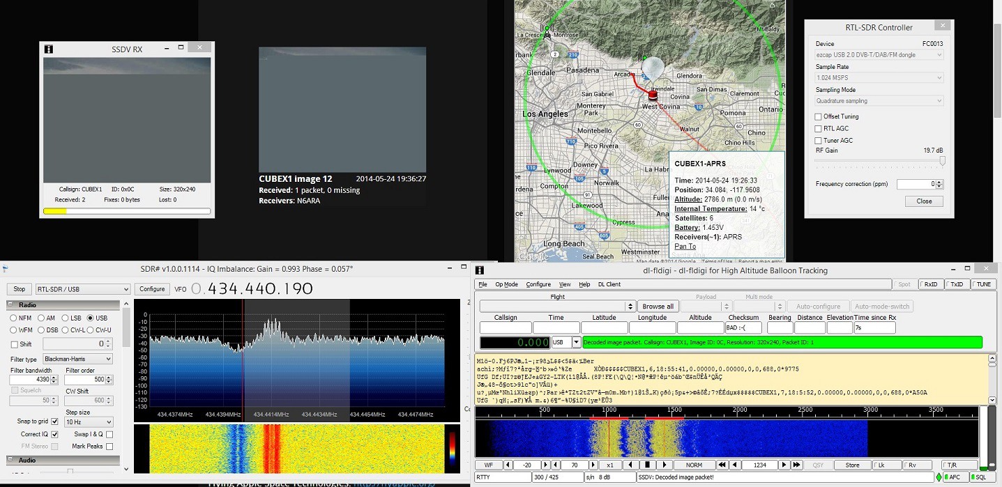
Screenshot of capturing data:
 arko
arko
Discussions
Become a Hackaday.io Member
Create an account to leave a comment. Already have an account? Log In.
Are you sure? yes | no