The sensor tag includes MPU-9250 and a 3-axis gyroscope, 3-axis accerometer and a 3-axis magnetometer. This is sometimes referred to as 9 degrees of freedom. If given the initial latitude and longitude can the sensor with some trigonometry predict the next position ? Can you map a moving animals or human animals without GPS ? Can this system assist humans with indoor navigation ? Such a system is called an Inertial Navigation System or Dead Reckoning. A great source of information can be found on Wikipedia.
There are two variables in the algorithm. The first one is easy. We want to calculate bearing or the direction the animal is moving in. The second variable is more tricky. We need to calculate if a step has been taken in order to determine distance.
1. Determine Bearing from the Magnetometer
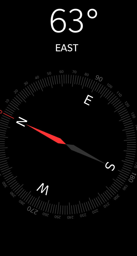
Here's a screenshot from my Blackberry showing the current position of my location.:

So to use the magnetometer from the sensor tag for bearing , I am using the calculation ATAN2 (Y,X).
Here's my calculation of bearing in Node Red:

If I convert the readings back to degrees than I receive : -63.772673.
2. Calculate Distance
I have used two white papers to try and determine when a step has been taken and then calculate distance .
http://www.eecg.utoronto.ca/~johns/nobots/theses/pdf/2014_hao_yan_masc.pdf
http://www.analog.com/media/en/technical-documentation/technical-articles/pedometer.pdf
My Node Red Flow needs to adjust the threshold to a moving average rather than a static number.
 Brenda Armour
Discussions
Become a Hackaday.io Member
Create an account to leave a comment. Already have an account? Log In.