 Capt. Flatus O'Flaherty ☠
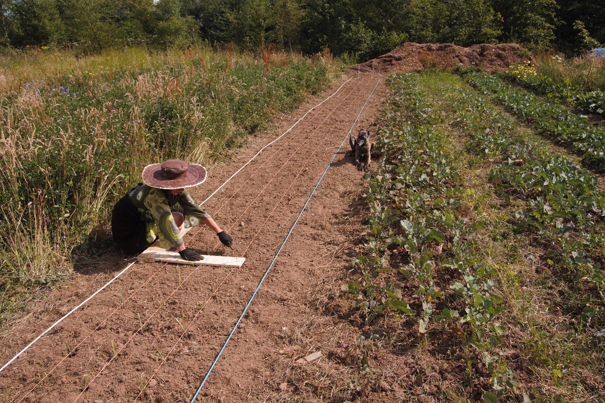 The farm dog has a particularly good eye for precision and will spot any leek that's out of place! ….. Precision is really important for testing the machine and the plants themselves need to be in exactly the right place. Ultimately, maybe next year, the machine will be able to do the planting, but for now we use humans (and dogs).
The white rope on the left will guide the machine with +- 5mm precision and barcodes will be printed out and laid down on the rope where we want the machine to stop and perform a series of weeding operations. Obviously, mud and dirt could be a problem by obscuring the barcodes, but for now everything is bone dry and there would be no problem. Eventually, more advanced cameras will be used and the plants themselves will be used to create a virtual 2D array for use as a navigational aid. In this case, the white rope will remain, but the barcodes method can be discarded and we'd revert to GPS instead ….. Well that's the plan anyway!
Discussions
Become a Hackaday.io Member
Create an account to leave a comment. Already have an account? Log In.