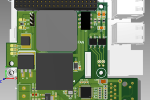
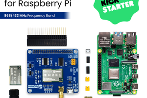
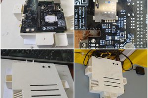
If you checkout the link in the project you can see the slides I made for DEF CON 24. The idea is pretty simple, the Raspberry Pi takes input from the SIM 900 module. That module can communicate with GSM towers. You receive a ton of great data such as Cell ID and power strength that are used in monitoring.
If you leave your detector collecting data you'll get a good baseline of the towers in your neighborhood. Now towers shouldn't move around so their ID and power should remain pretty similar with minor fluctuations. If a detector notices a new Cell ID or dramatic power level changes, you can be pretty sure something is going on! Maybe a new cell tower? There might also be a white van parked outside your house.
The next step is the fun part. With an attached GPS receiver the Raspberry Pi is aware of where it is. It can save that information to do some interesting math along with power level to get a pretty good idea of where the new signal is coming from! Now this may require multiple detectors or perhaps just taking a drive with your raspberry pi! In any case with some free GIS software you can make some pretty heat map overlays!


 Alan
Alan


 madivak
anyone know how to get the raw gsm data out of the sim900?