There is no way that I can do anything more than the beacon until October 1st, but I would like to explain the whole project and its use cases.
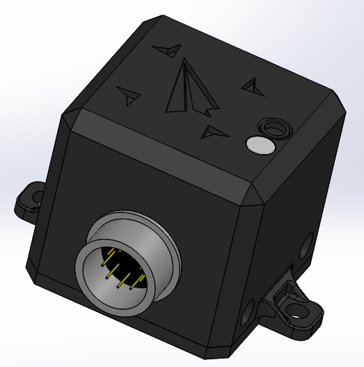
It is simple: every active beacon (locator) appears on a map and anyone sees its current position. The beacon is mounted on the aircraft (be it multi-rotor, glider, powered RC model etc.). Scattered on the ground are several receivers, connected to the internet. When a receiver gets data from a locator, i sends it to a handling server that places the drone on a map. How is this useful ?
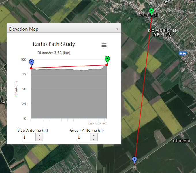
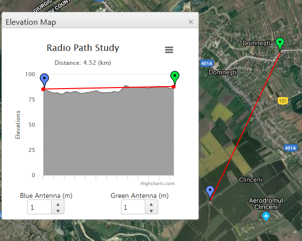
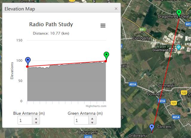
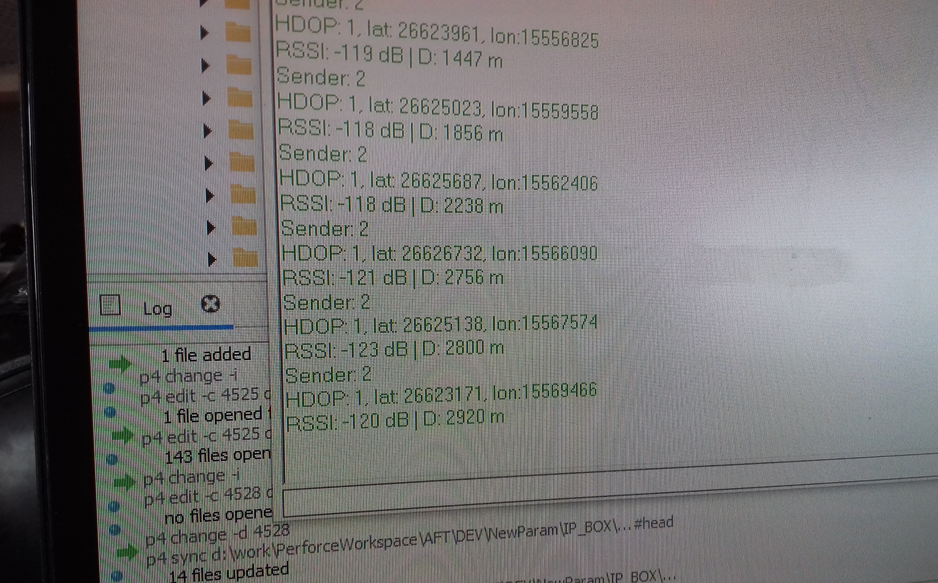
Let's consider our case: we test our UAVs near a utilitarian airfield ...
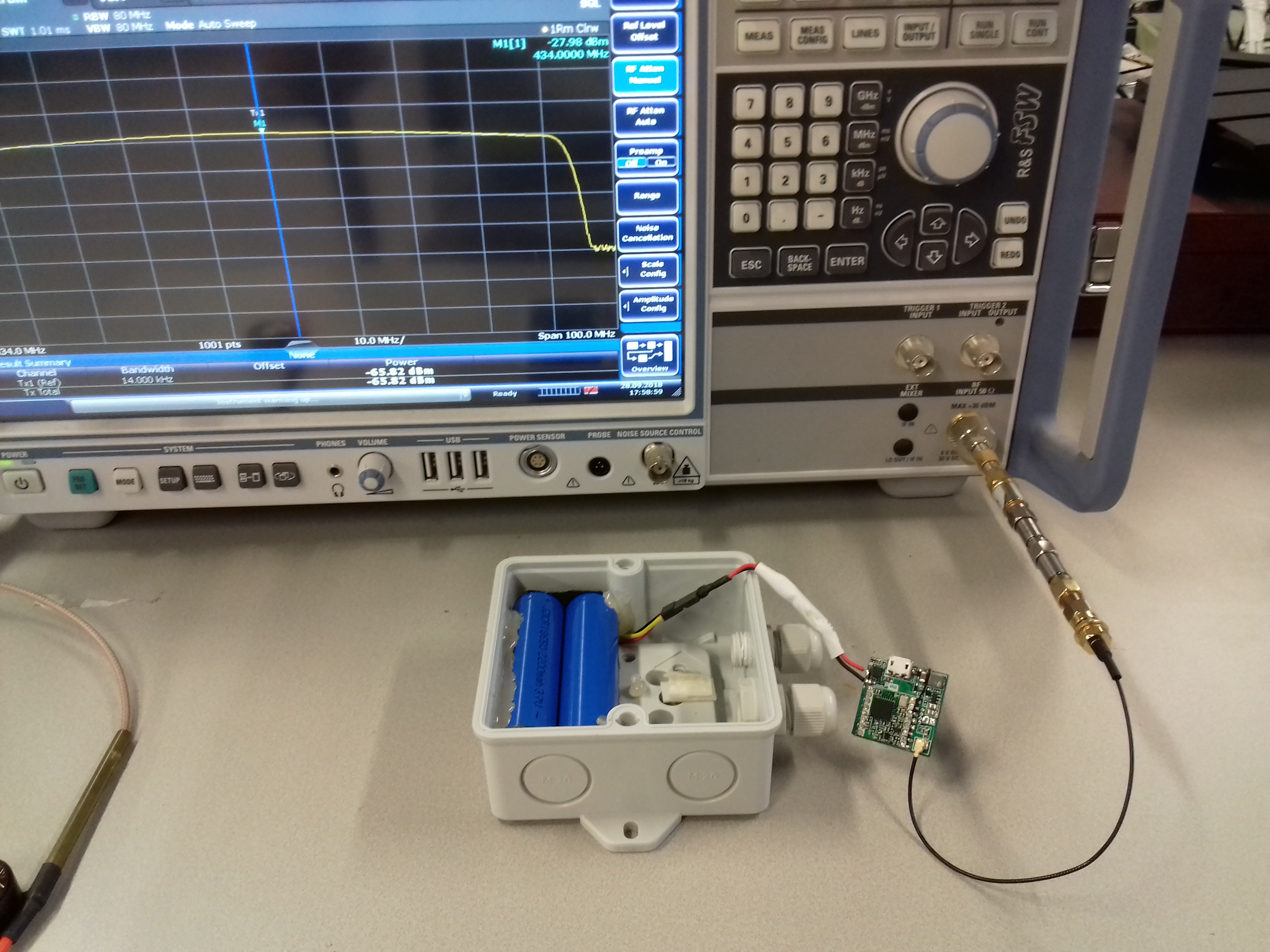
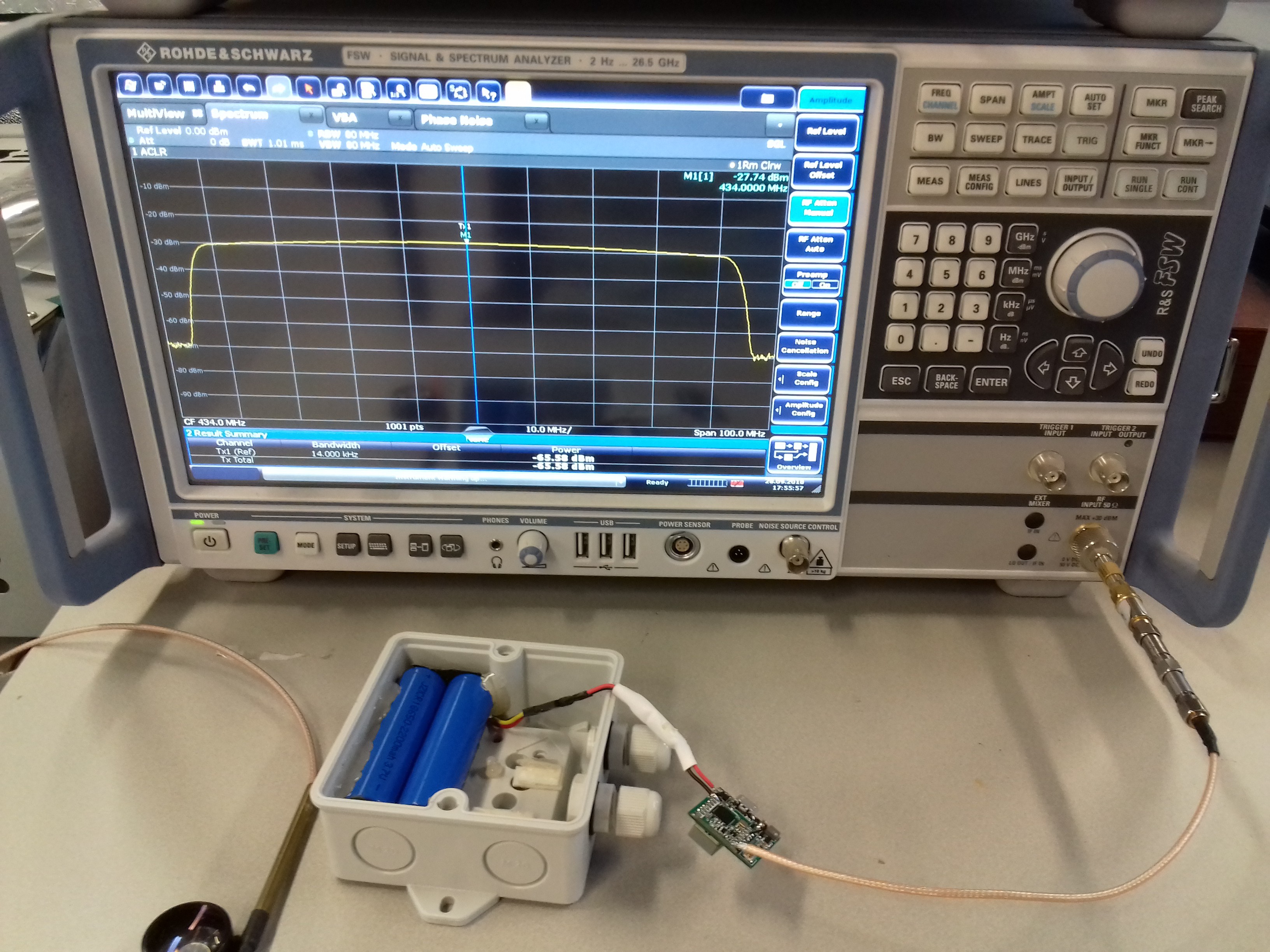
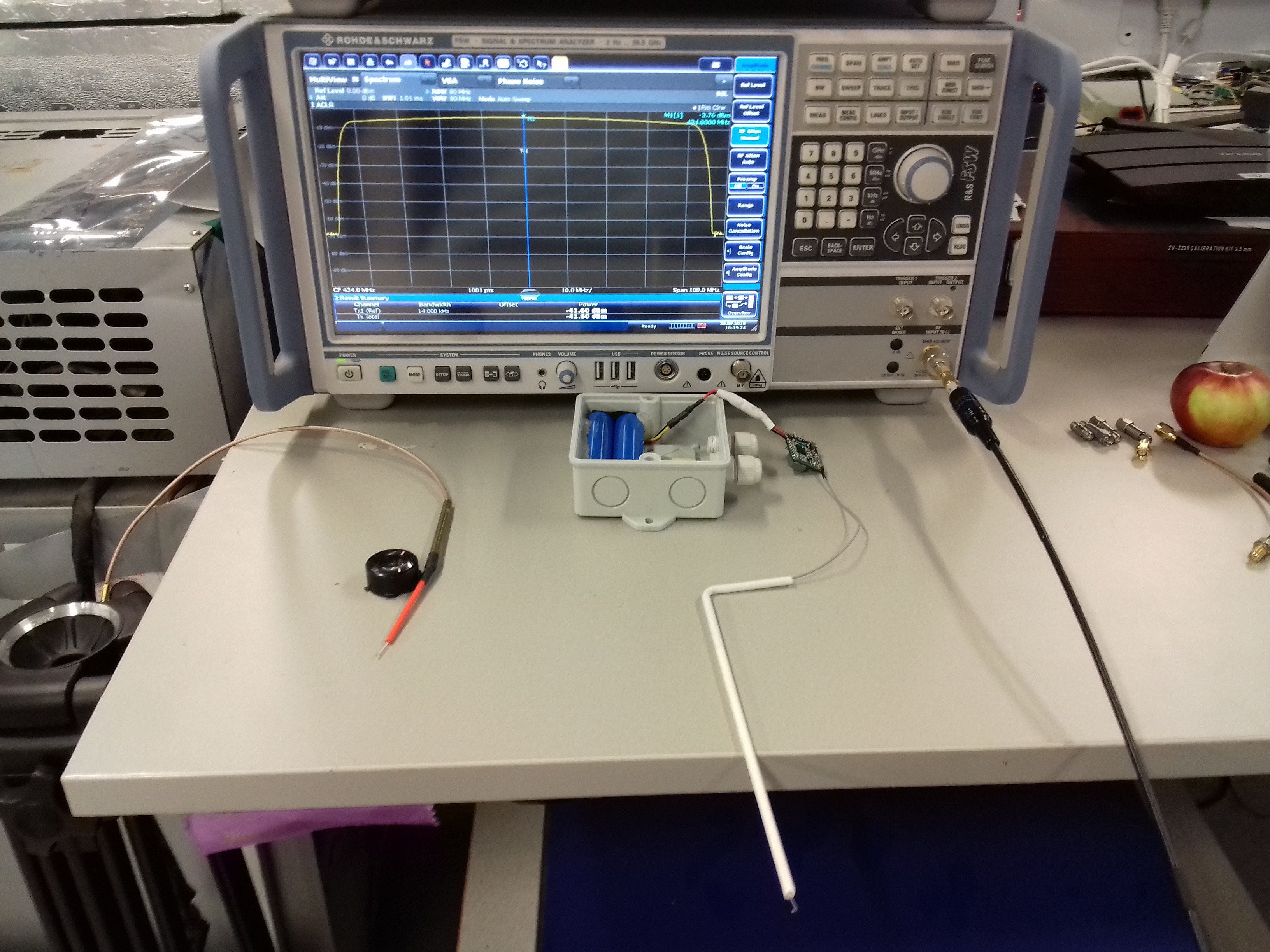


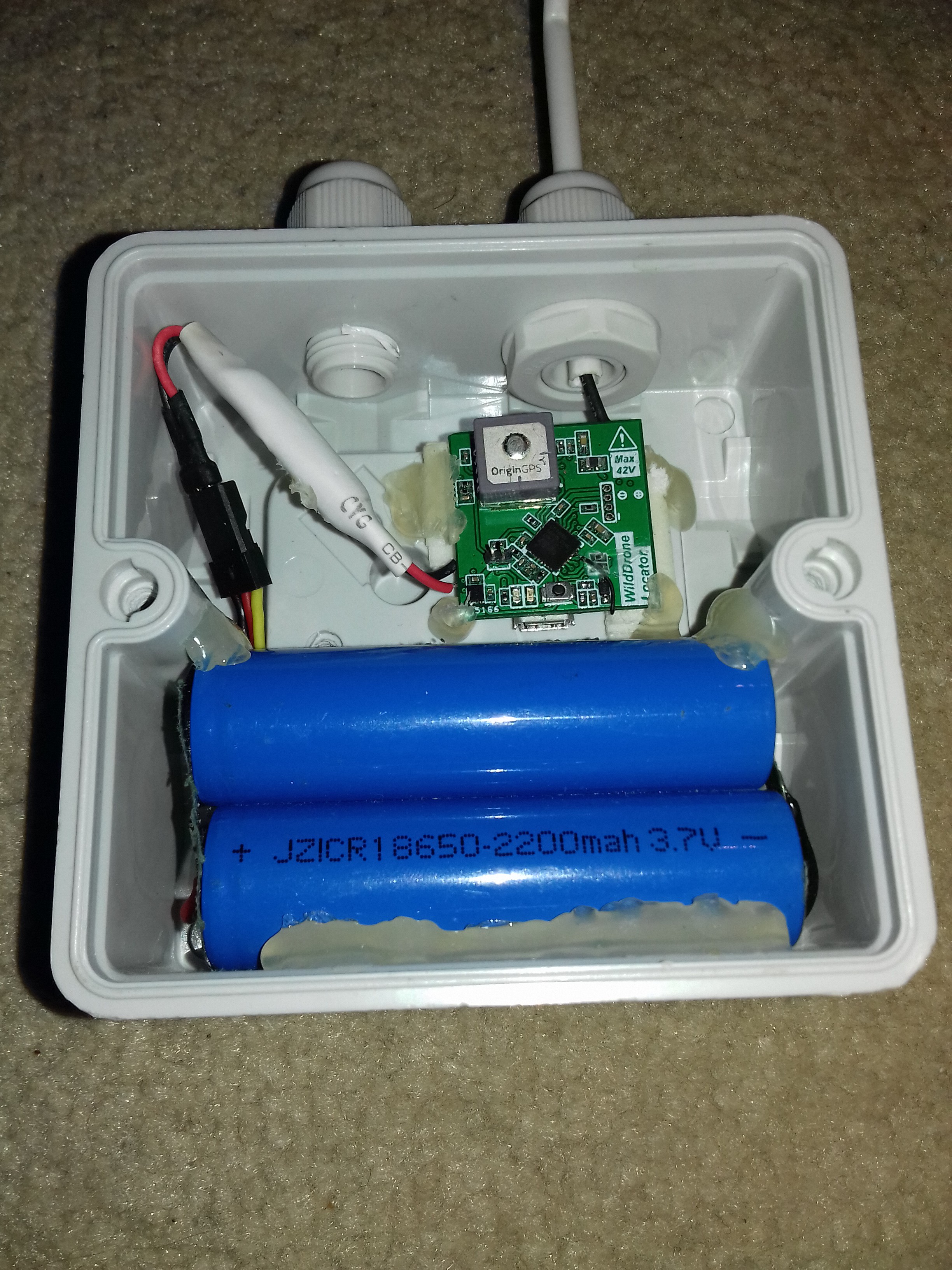
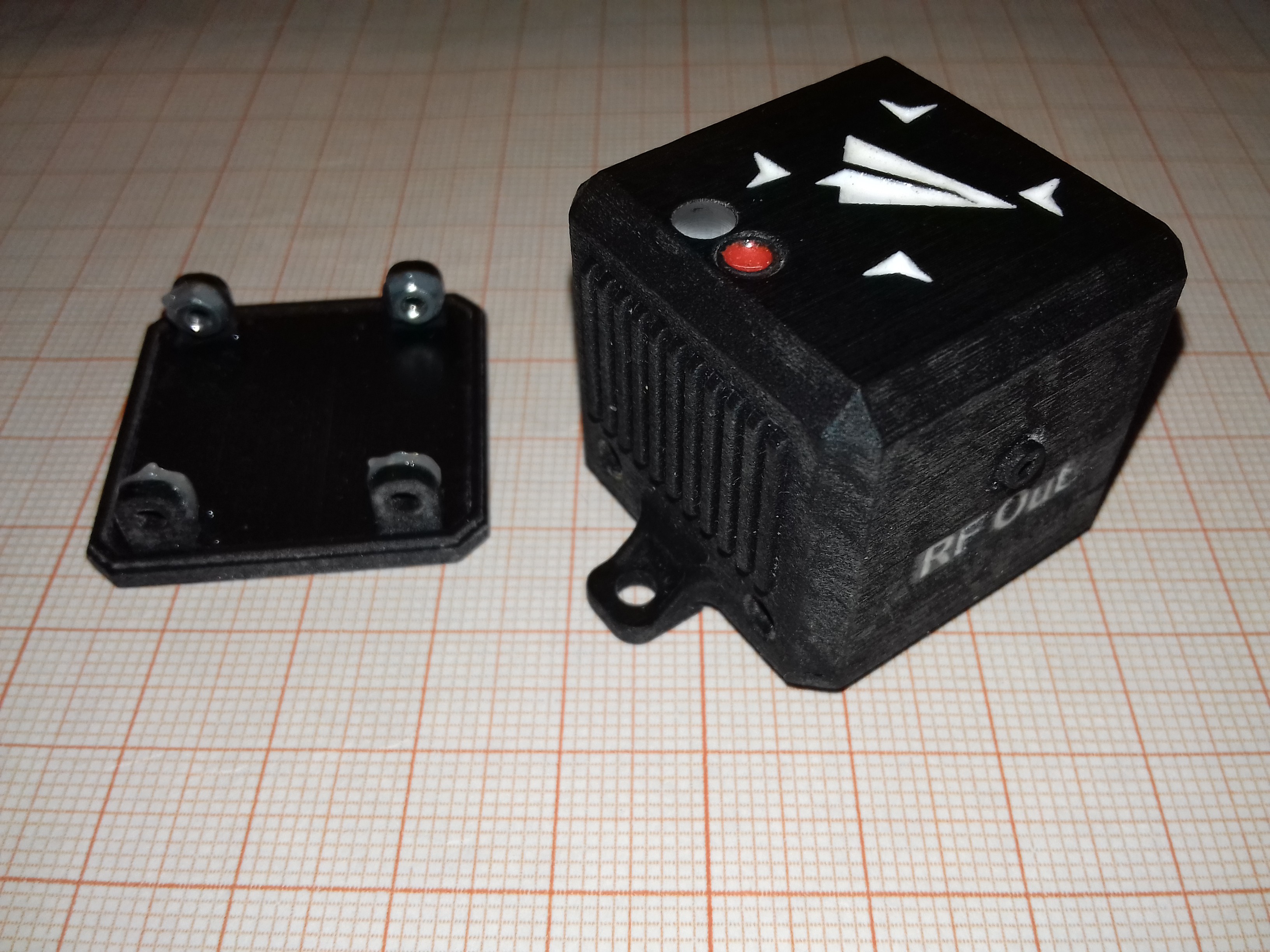
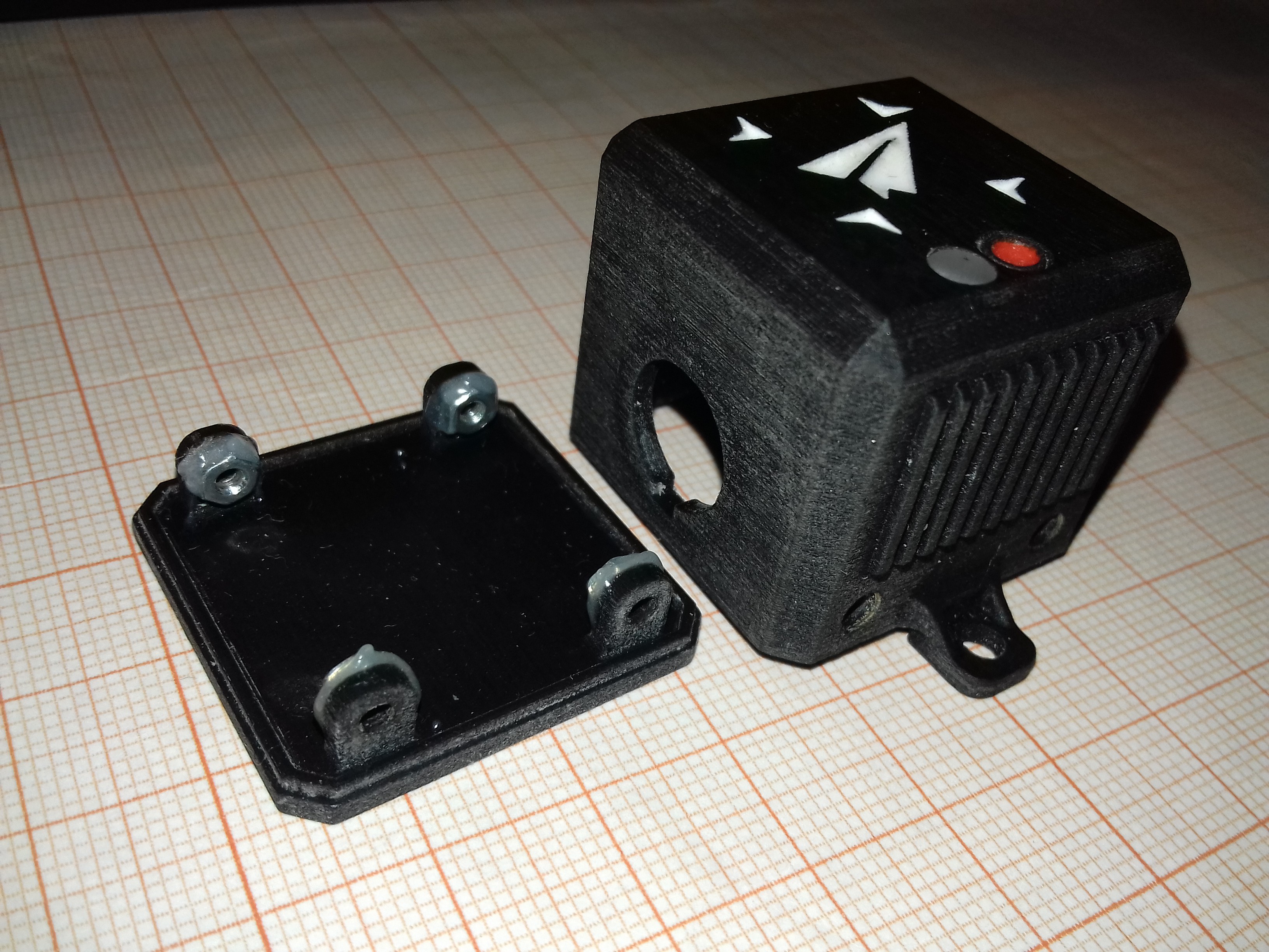
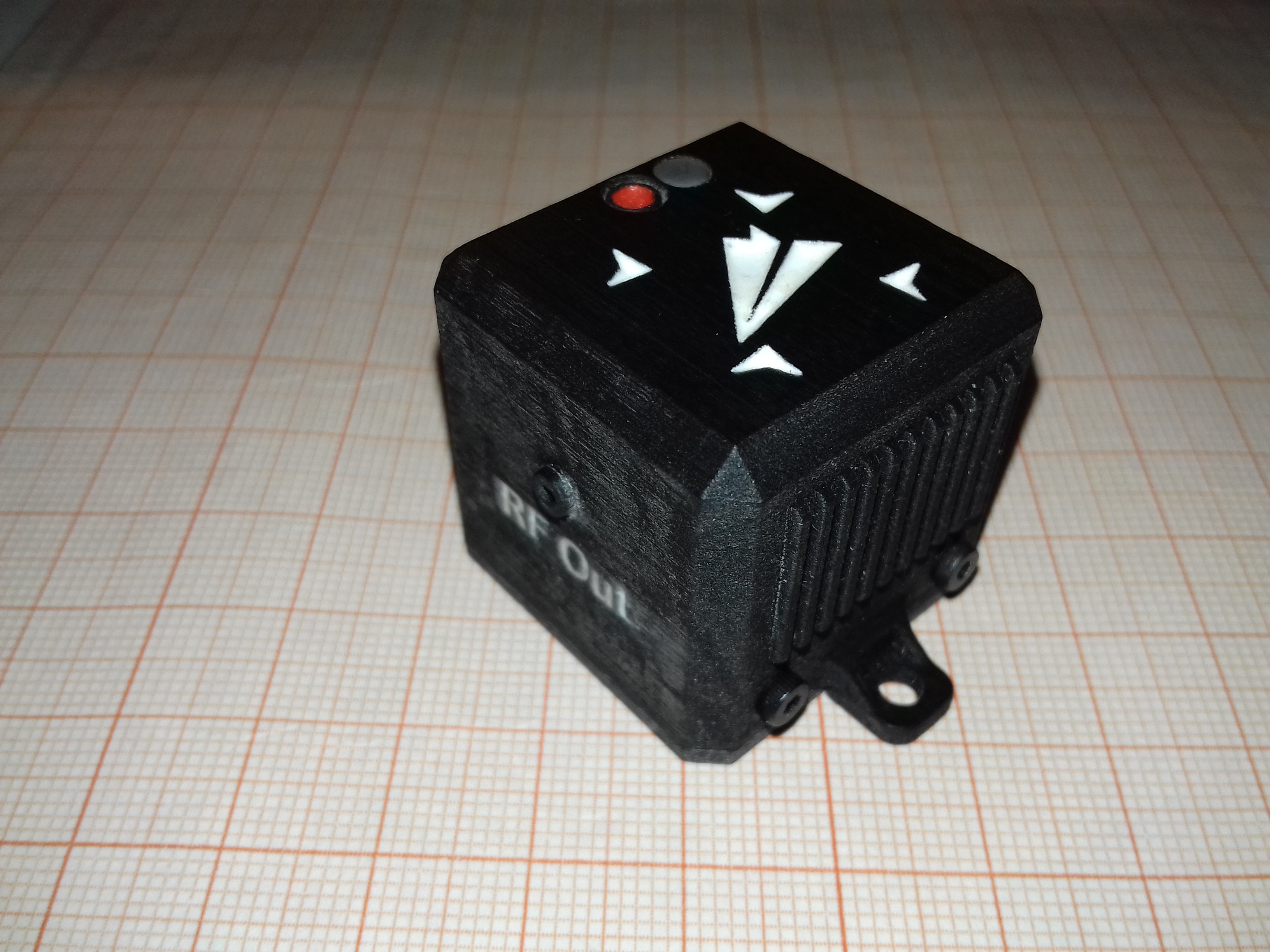
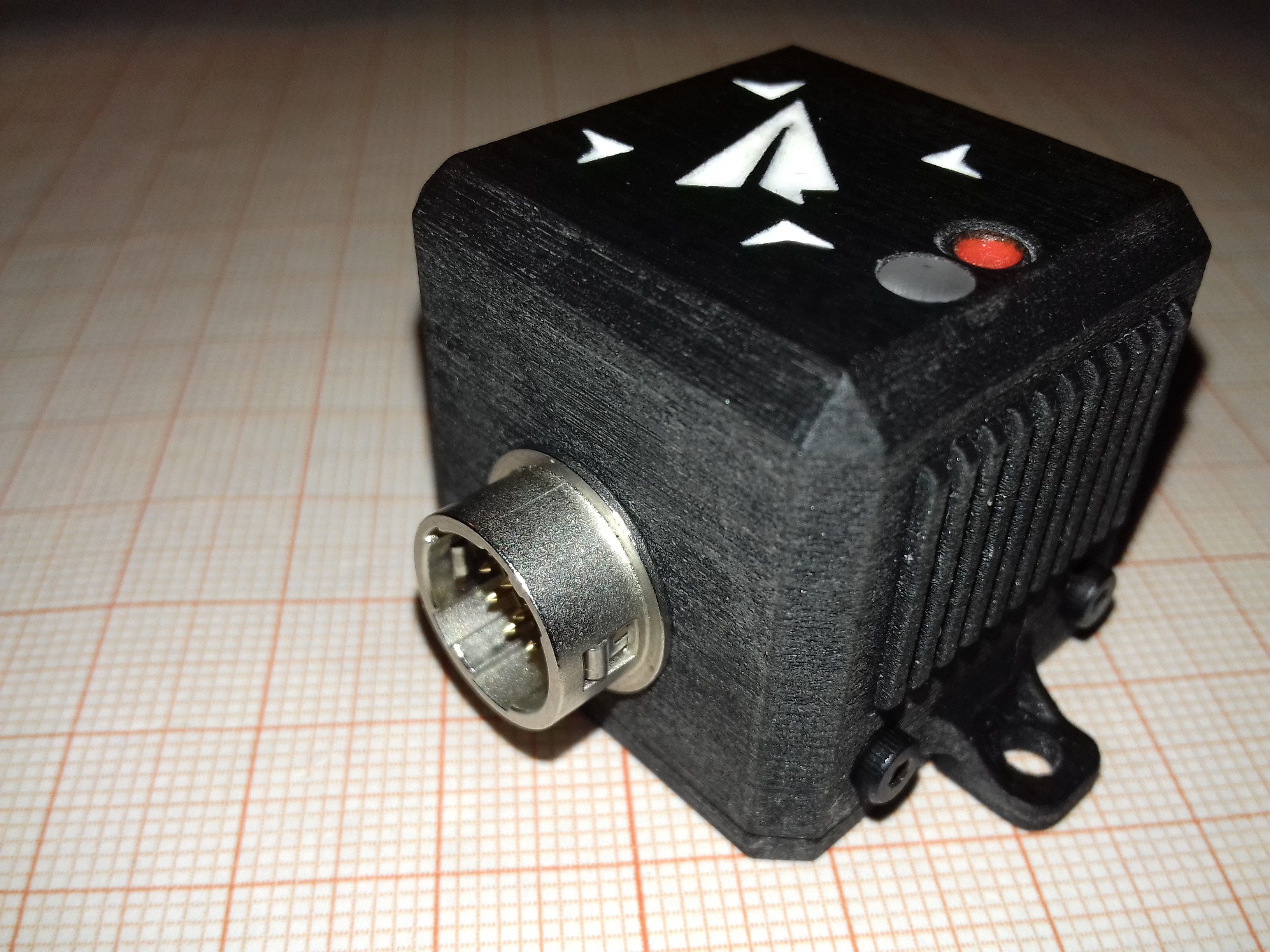
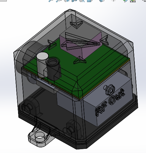
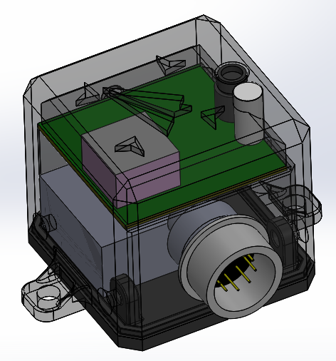
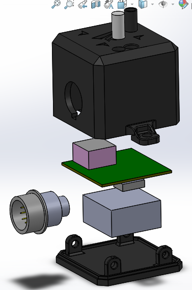

Reminder to those who will duplicate this design in the US: The 433MHz ISM band has emission limits on power and duty cycle.
https://www.edn.com/electronics-blogs/eye-on-iot-/4437311/Using-433-MHz-for-wireless-connectivity-in-the-Internet-of-Things