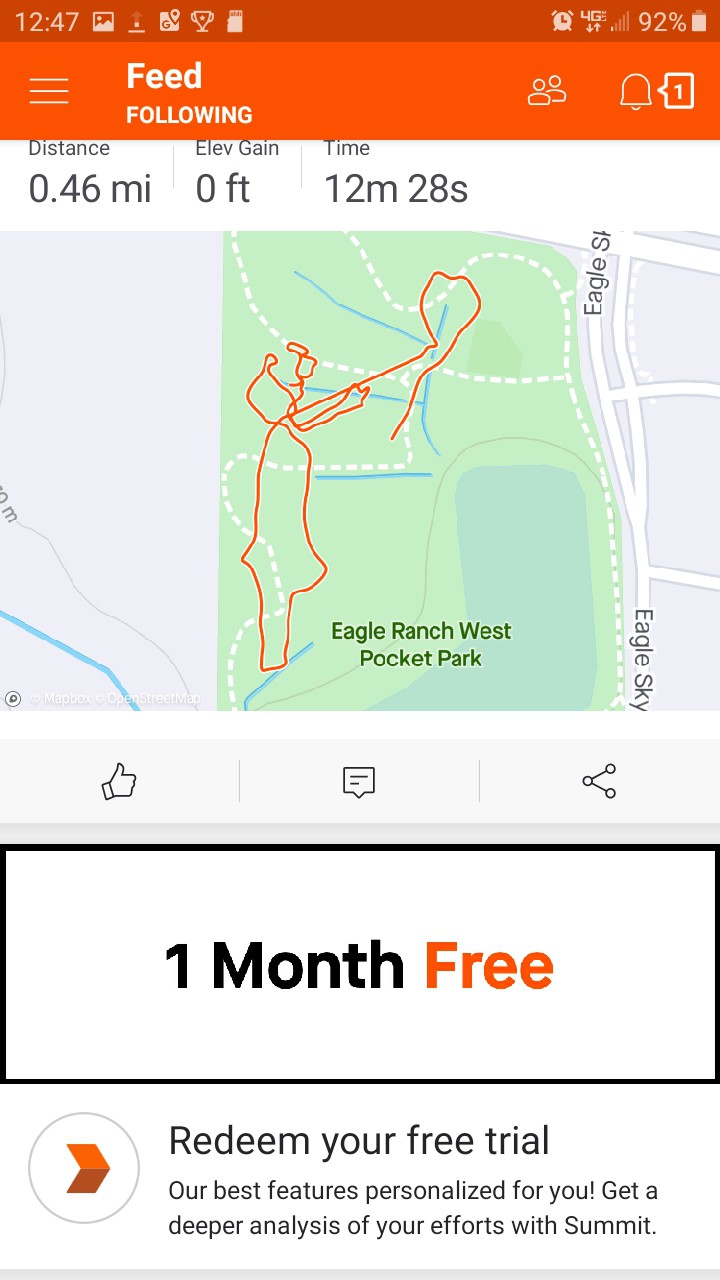
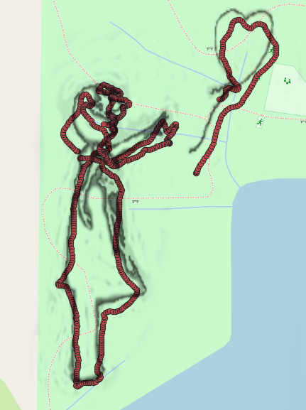
My phone showed that I was able to closely follow the custom map, but what the GPS logged showed a different story. Here is the output uploaded to Strava:

and by going to the Garmin connect site it is possible to download the track in a GPX format, which can be imported into qgis as a vector file.

Here the logged datapoints are off by about 25' to 35'.
So, the next step will be to follow a custom map while logging the gps on my cell phone, and see how far off the datapoints are there, in relation to the map.
 jlbrian7
Discussions
Become a Hackaday.io Member
Create an account to leave a comment. Already have an account? Log In.