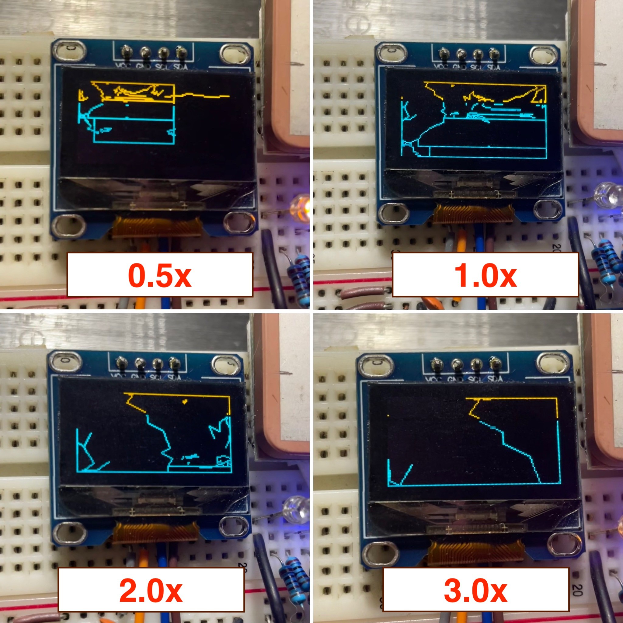
With the rainy weather all weekend, I wanted to implement some graphical mapping features on the device. With an e-ink display on it's way (https://github.com/WeActStudio/WeActStudio.EpaperModule), all I have is the 0.96" OLED display I purchased from AliExpress. With a 1 bit display, there's not much to do for displaying graphics, especially for something as complex as location-based maps.
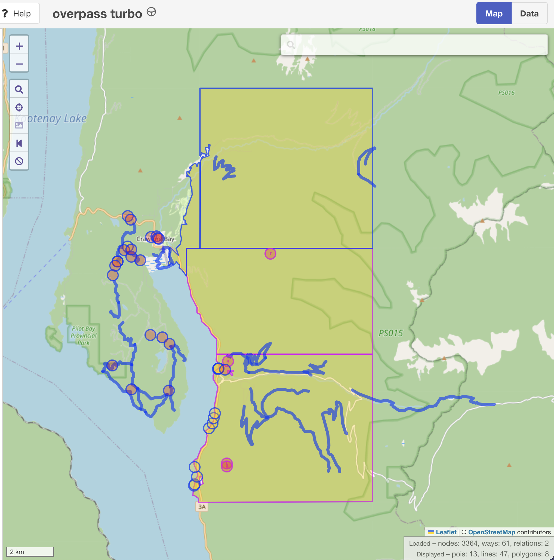
After implementing functions to render a pre-rendered bitmap tile, I opted to simplify it for the ESP32 and the display at hand. Using geoJSON data built from overpass-turbo.eu, I wrote simple map vector rendering. This can allow a user to upload any geoJSON file (under 80kb has worked so far without memory issues) and display their current location on the map. To reduce the complexity of the map, I used https://mapshaper.org/ to simplify the lines/polygons but it doesn't work with multilayer files. I was able to simplify using ogr2ogr:
ogr2ogr -simplify 0.001 simplified.geojson input.geojson
This allowed me to....actually load the geoJSON data on the ESP32 with the RAM it has. Granted, I could use my ESP32-S3 (16MB flash/8MB RAM) but I prefer to work with constraints.
I also added zoom functionality using the "nav" button, see the attached pics of it in use vs the original map (before I fixed the inverted Y axis). Also attached of the device in use I took a few weeks back, removing the first GPS coords screen (so y'all can't find me).


 Easton
Discussions
Become a Hackaday.io Member
Create an account to leave a comment. Already have an account? Log In.