Problem: Scouts can be lost into forest and not easily found upon competitions. Orienteering in darkness and under adverse conditions is not easy. This was demonstrated in the competition we tracked: a handful of scouts got lost and needed SAR.
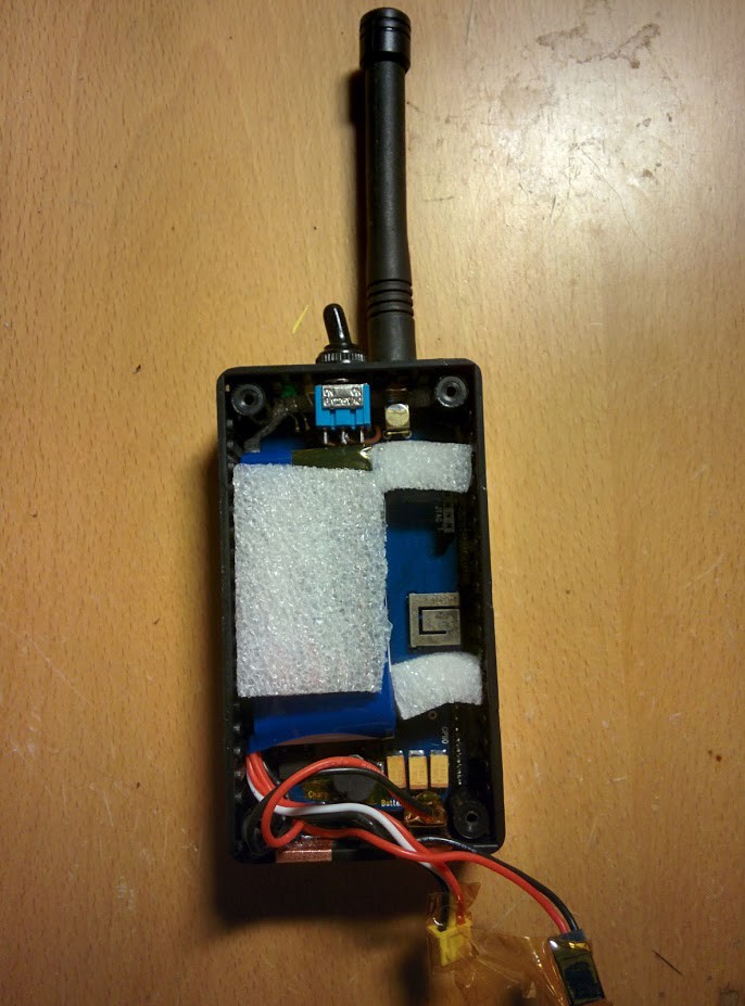
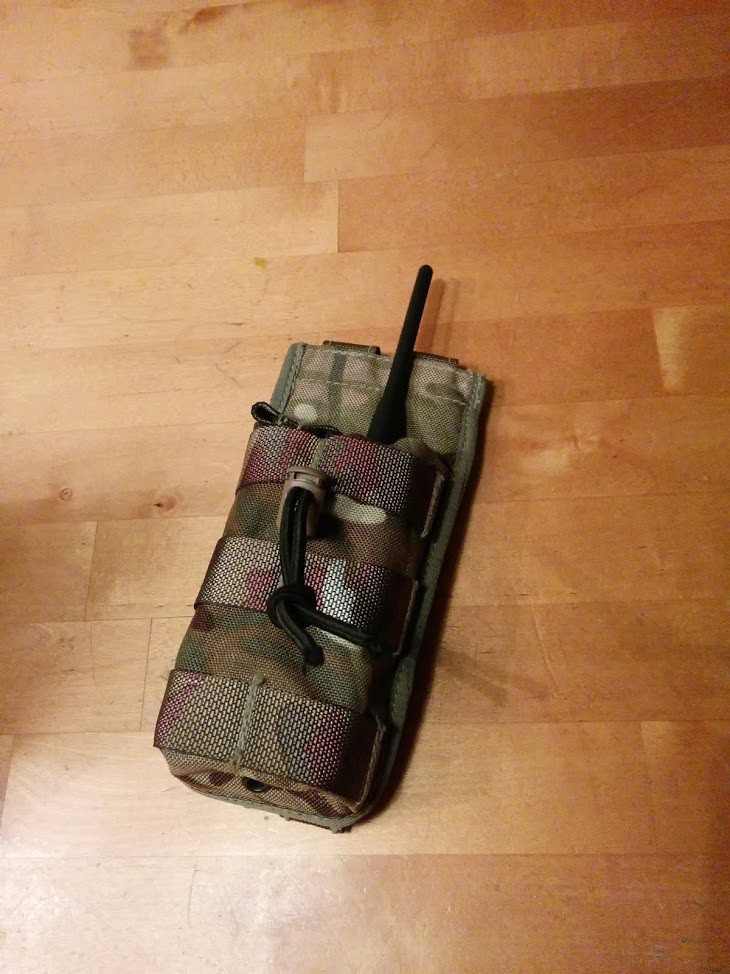
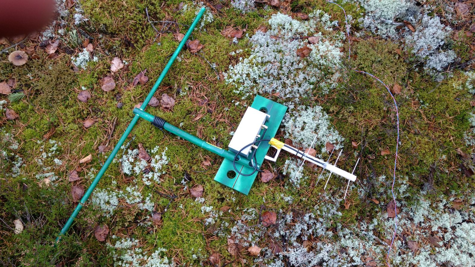
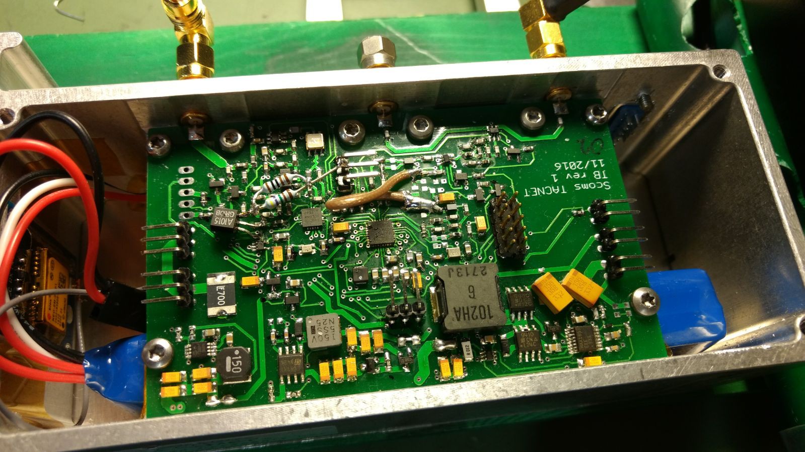
Solution: We created a radio tracking network for scouts. The scouts can be tracked in real time on a map system and SAR operators can be coordinated accordingly.
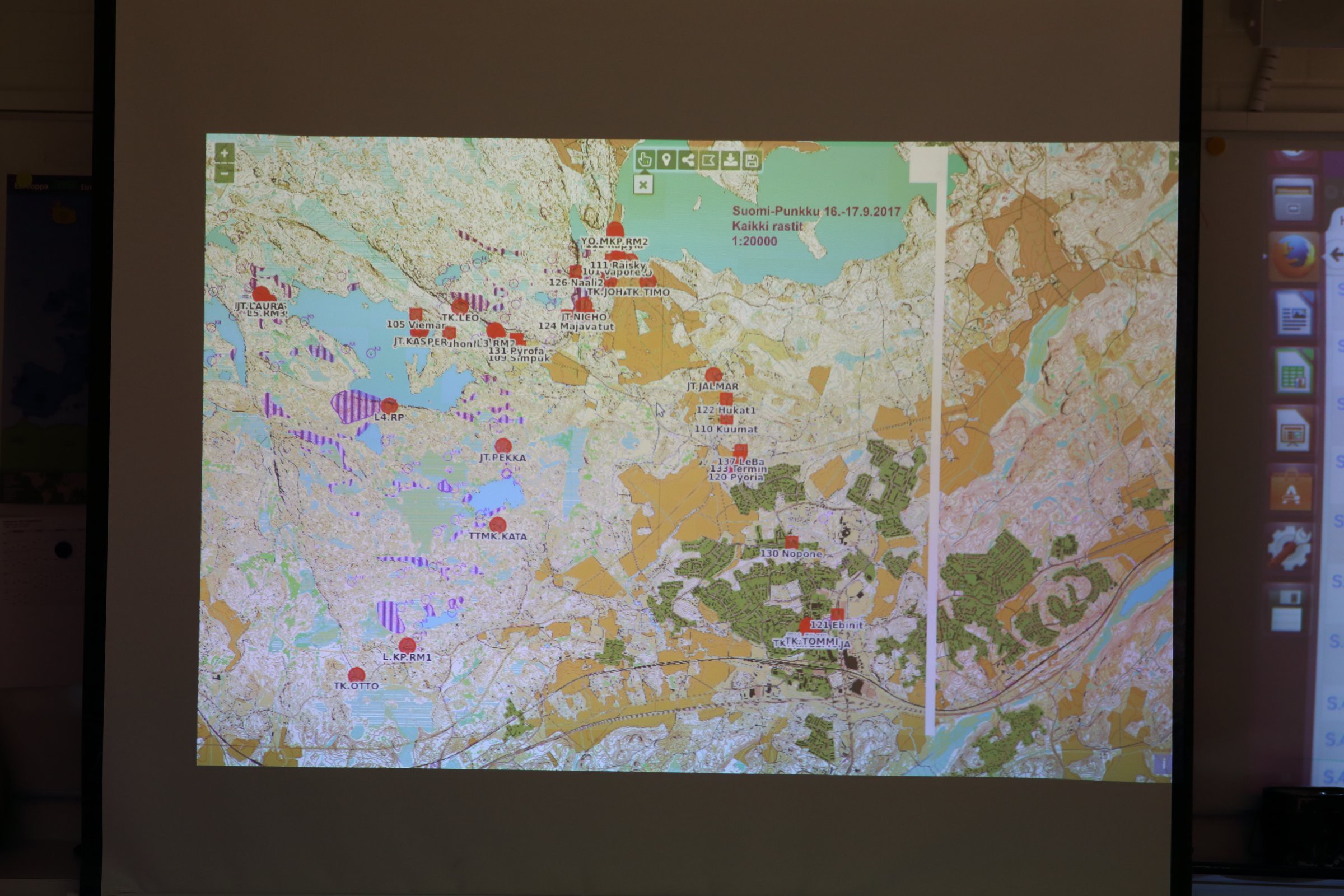
We were able to change the way the competition status is monitored. We were able to see when the scout teams arrive to checkpoints and give an early warning to the checkpoint operators to prepare or to disassemble when every team had passed the checkpoint. On top of that, we were able to speed up the rescuing process if a team got lost. Finding a lost team from a 1x2km area in darkness and rain is not an easy task - unless you know the exact position.
The project can change the world. If more events employ live tracking, the events can be safer and much more educative - the team can see afterwards where they have been. The teams can truly learn from their mistakes.
Licensing during the project: most of the software can be licensed under MIT or GPL and on some occassions, GPL applies.

 tlankford01
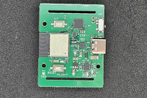
 YJ
YJ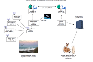
 x3n0x
x3n0x
 John Costik
Great to see the collaboration between so many individuals and groups to solve a problem. If anyone is interested in something similar using off-the-shelf hardware and software, and completely off-grid tracking/mapping (no internet access needed), have a look at my project that has many of the same features, yet admittedly not as refined as this project:
https://hackaday.io/project/13013-off-grid-gps-race-tracker-client-and-server