0%
0%
Dropsonde Micro
A bite sized dropsonde for taking atmospheric measurements from low to moderate altitude.
 Connor Huffine
Become a Hackaday.io member
Already have an account? Log in.
Just one more thing
To make the experience fit your profile, pick a username and tell us what interests you.
Pick an awesome username
hackaday.io/
Your profile's URL: hackaday.io/username. Max 25 alphanumeric characters.
Pick a few interests
Projects that share your interests
People that share your interests

 alexwhittemore
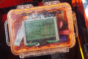
 Thorsten von Eicken
 Bruce Land
 Sagar 001
So how will these be going aloft? Weather balloons? Or will they be small enough to be brought to altitude by a drone? Because that would be cool.