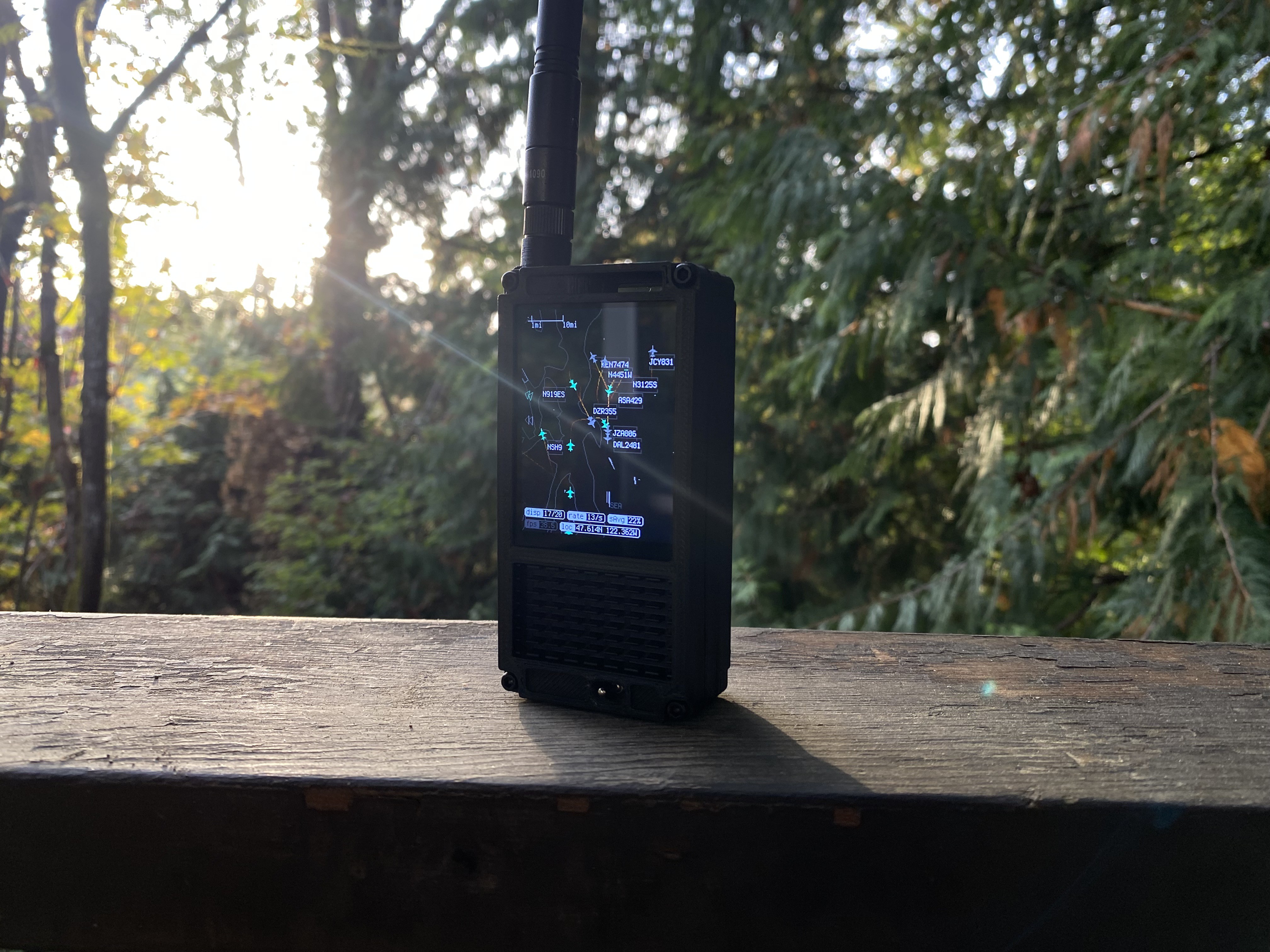
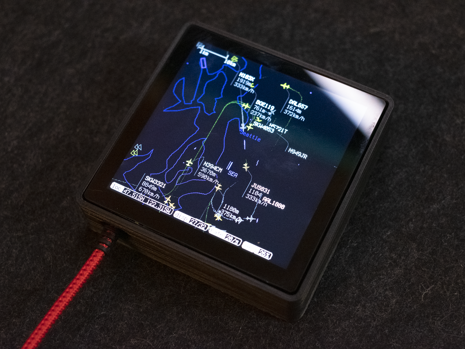
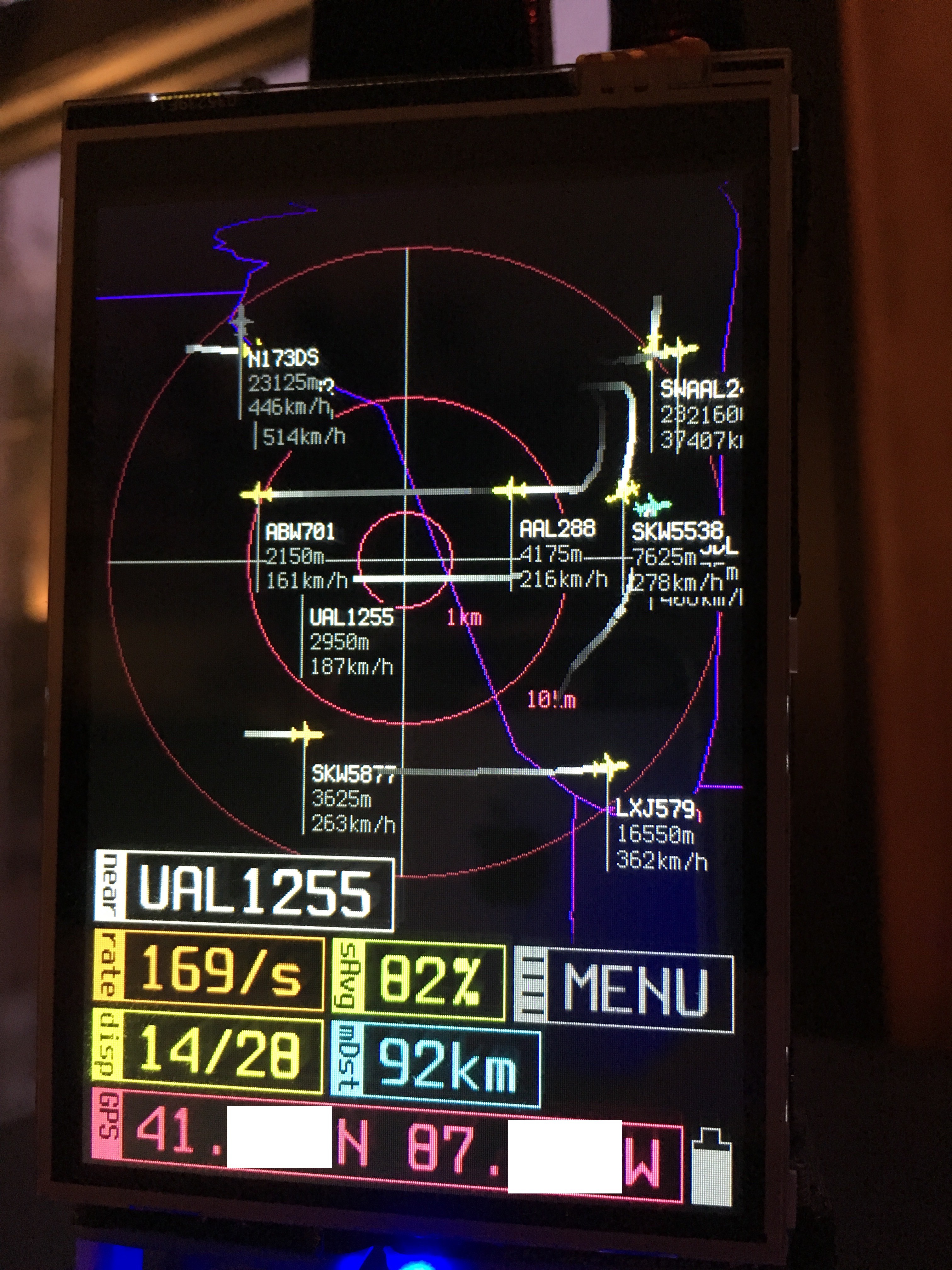
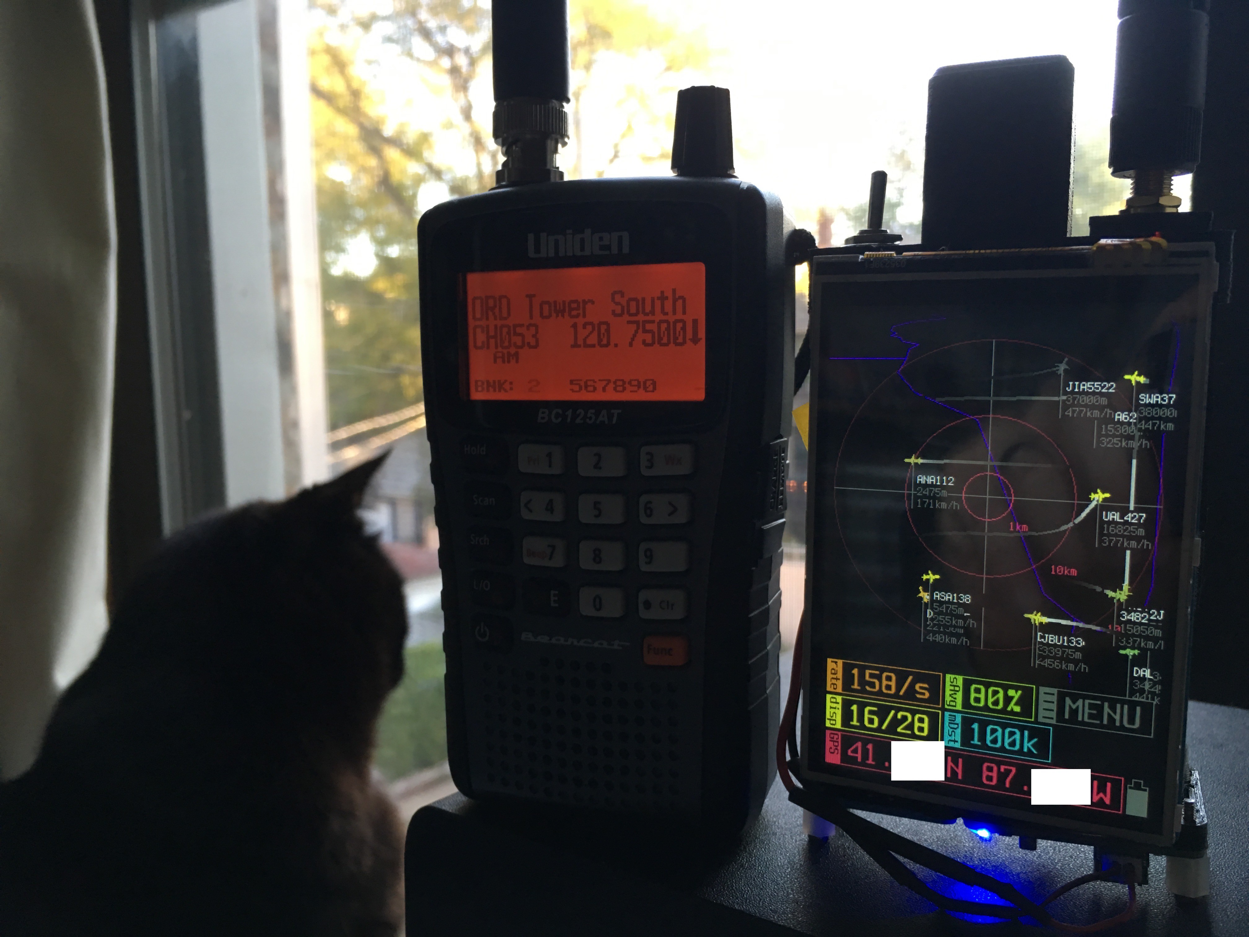
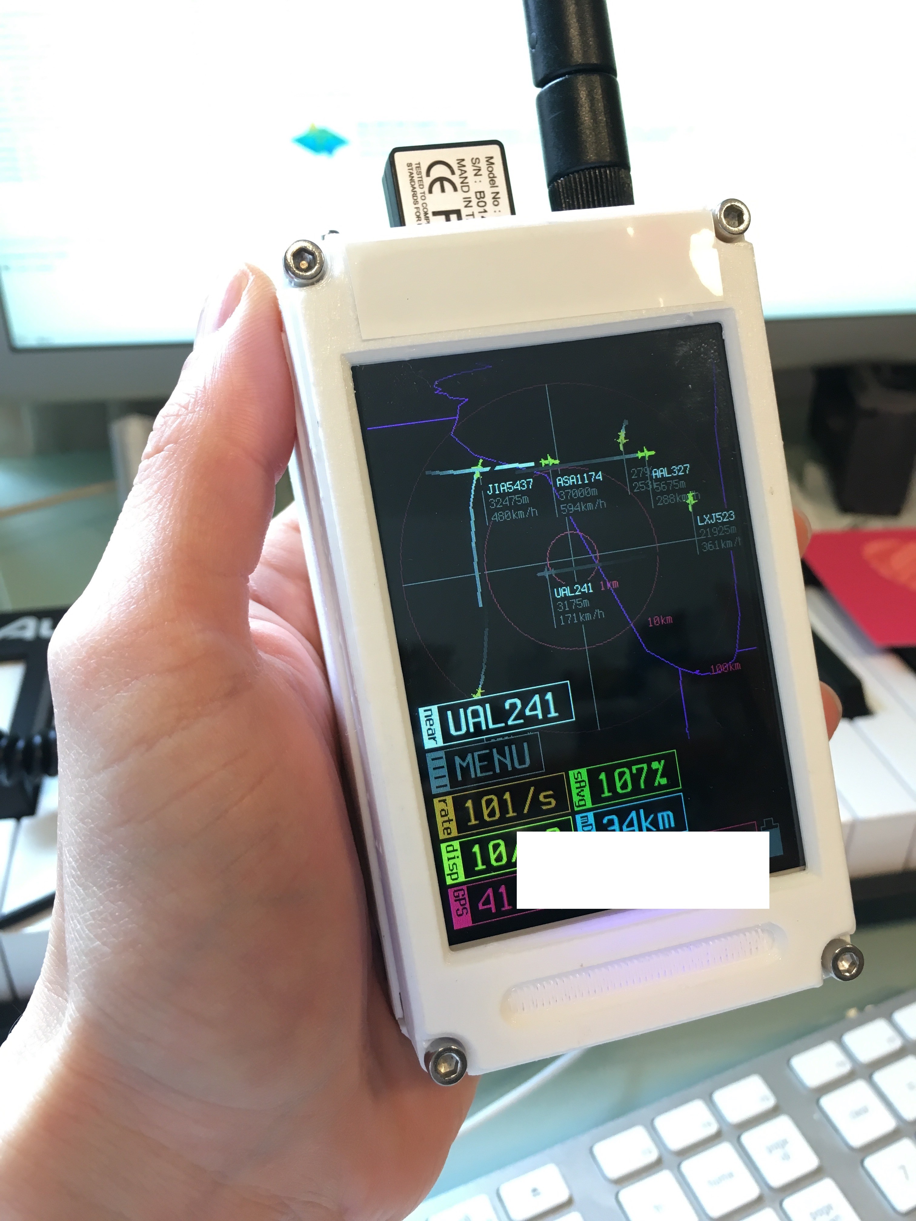
This visualizer consumes ADS-B output from dump1090 over a network socket using the original view1090 interface. Instead of showing a list of planes, this plots them on a map.
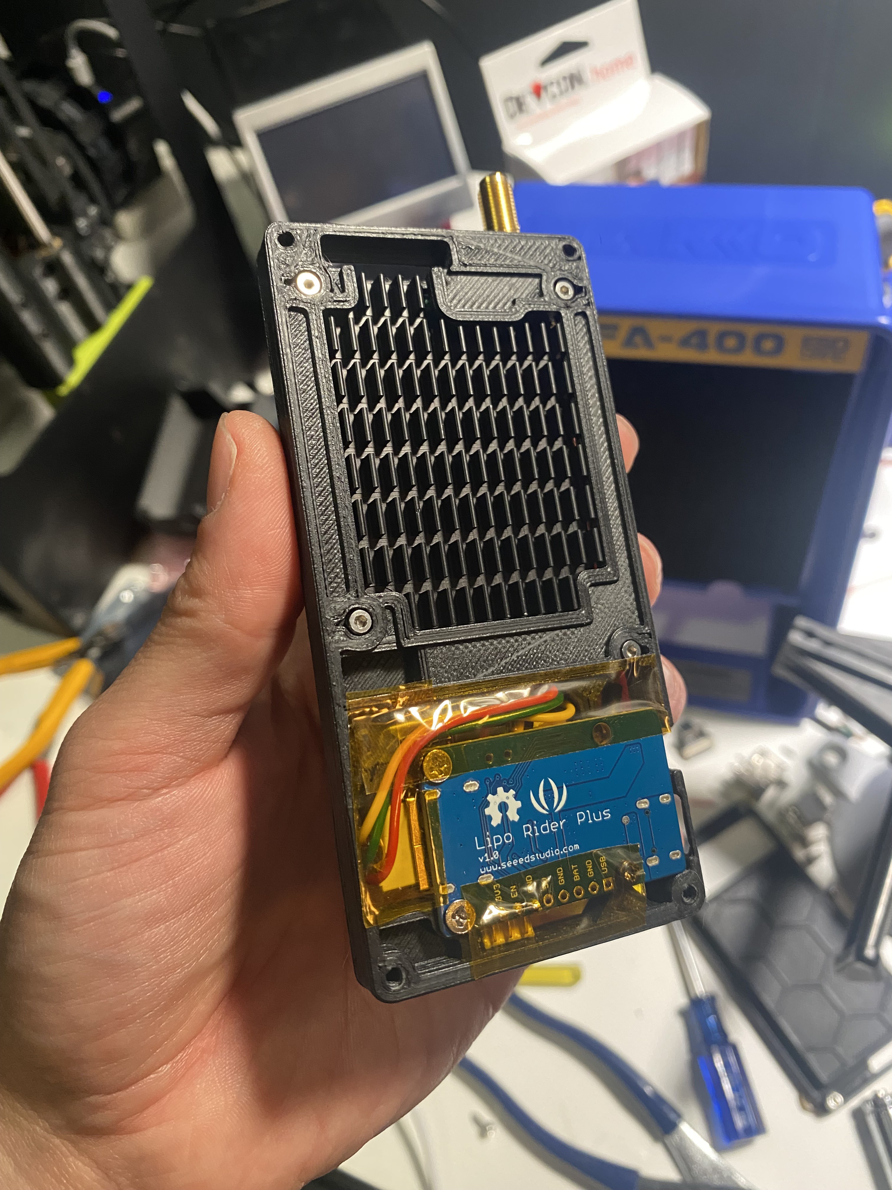
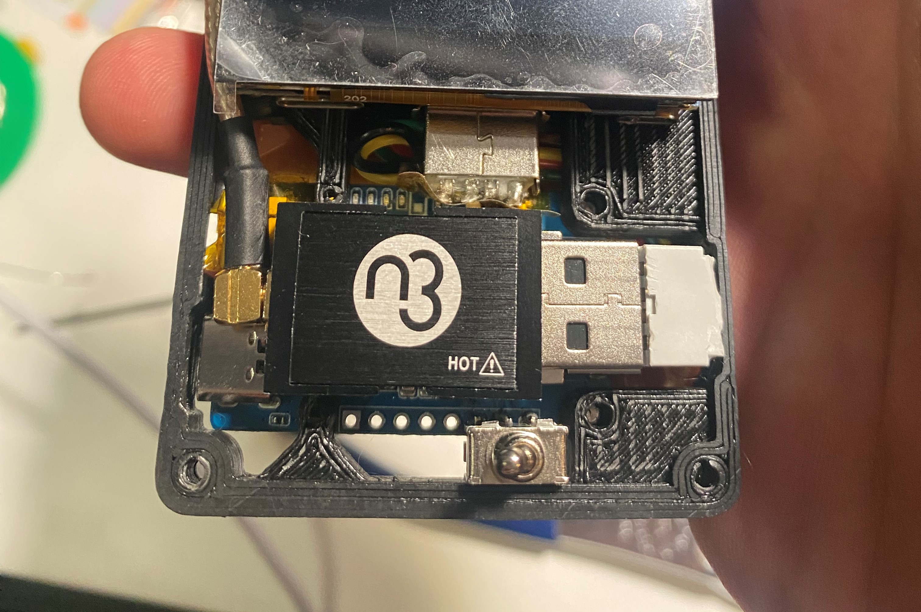
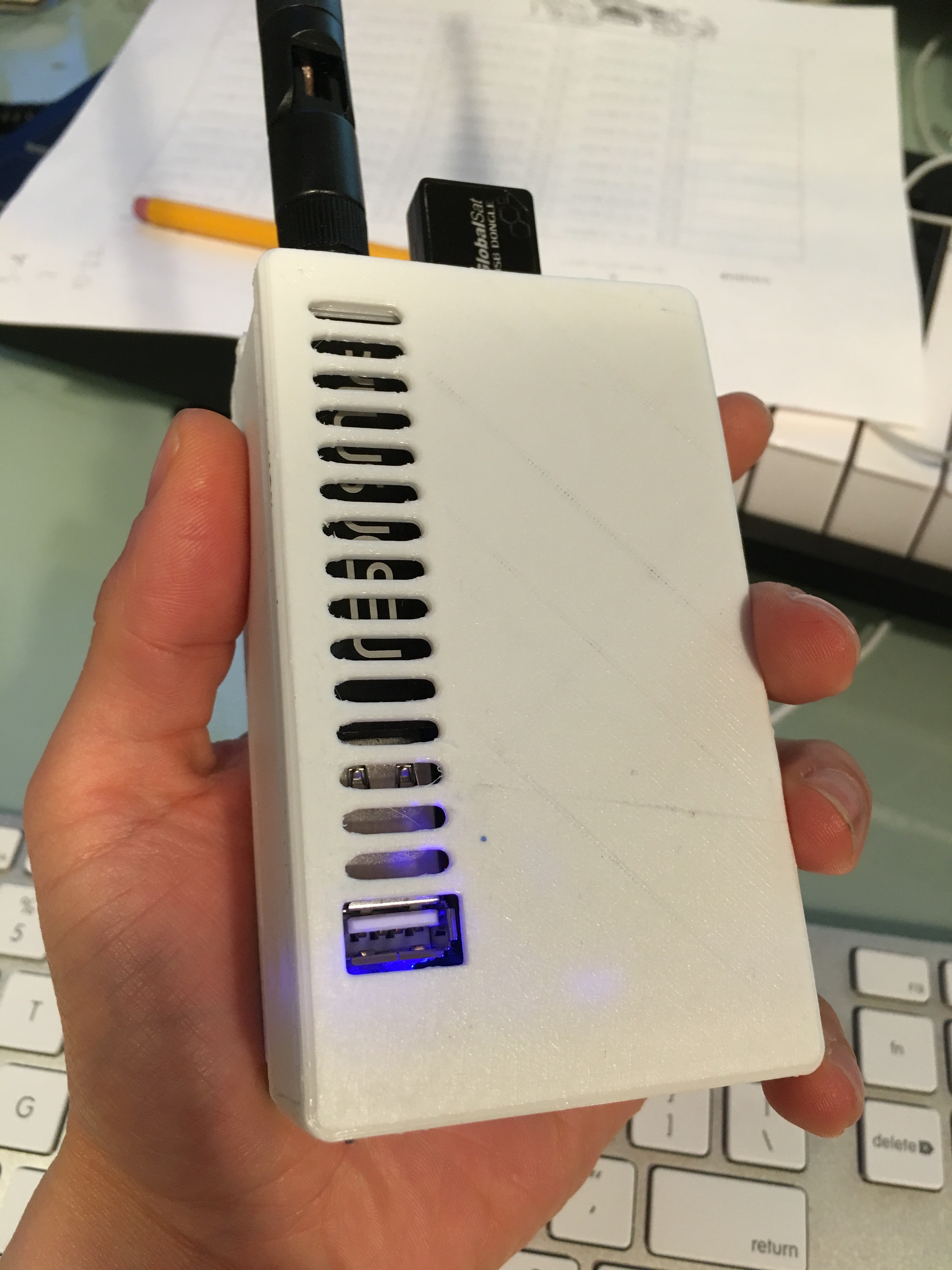
I originally intended this to be used for a handheld Raspberry Pi setup, but I've since tried to move it in a more cross-platform direction. Most of the development has been done on a touchscreen linux laptop, but it will also build on Mac or Windows Linux Subsystem. I'm working on an Android build as I think that is the best target platform.
This is very much in progress! Lots of things I would like to add/fix but haven't gotten around to yet.


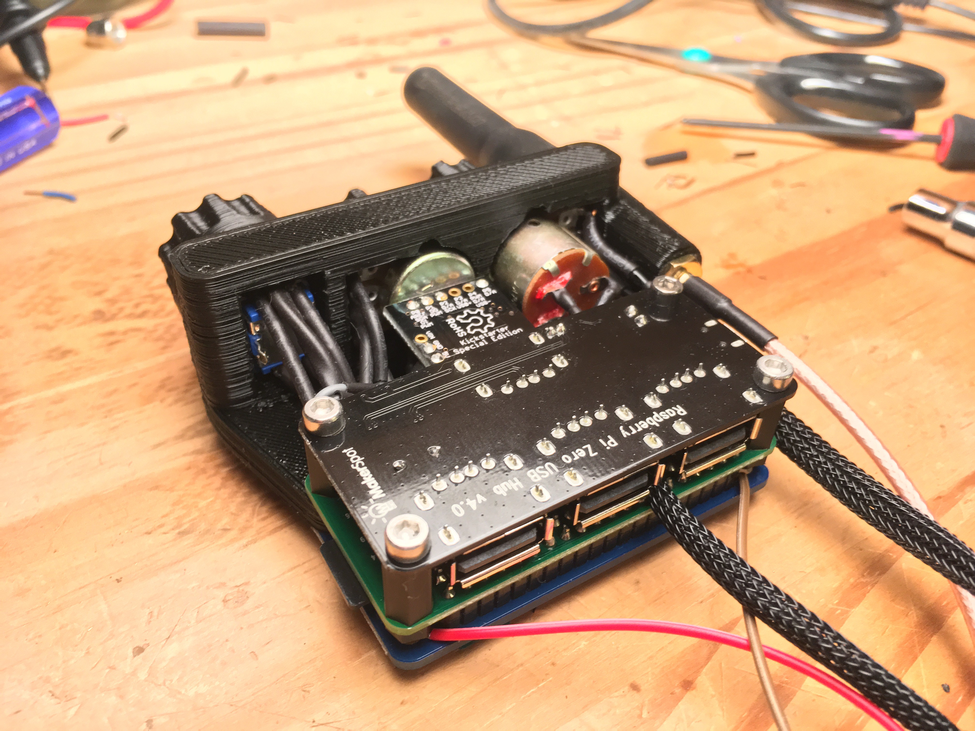
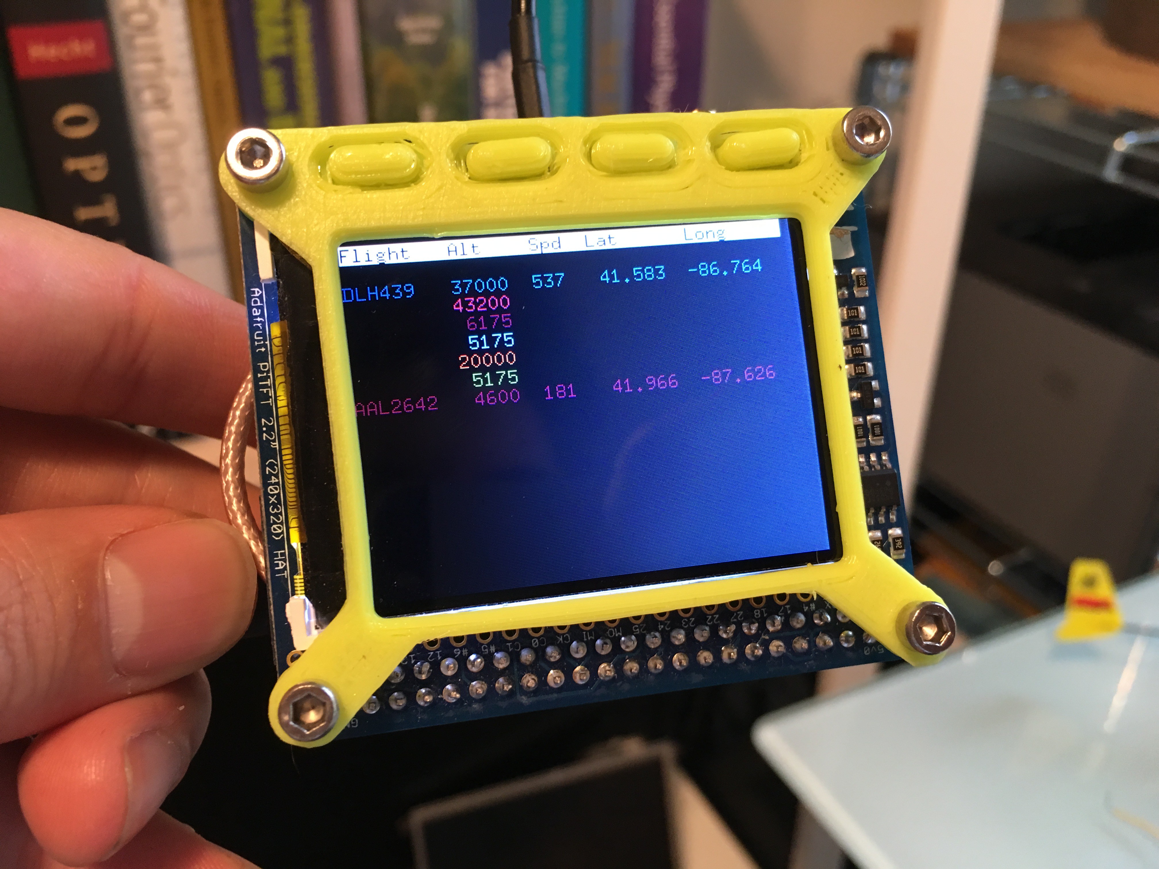
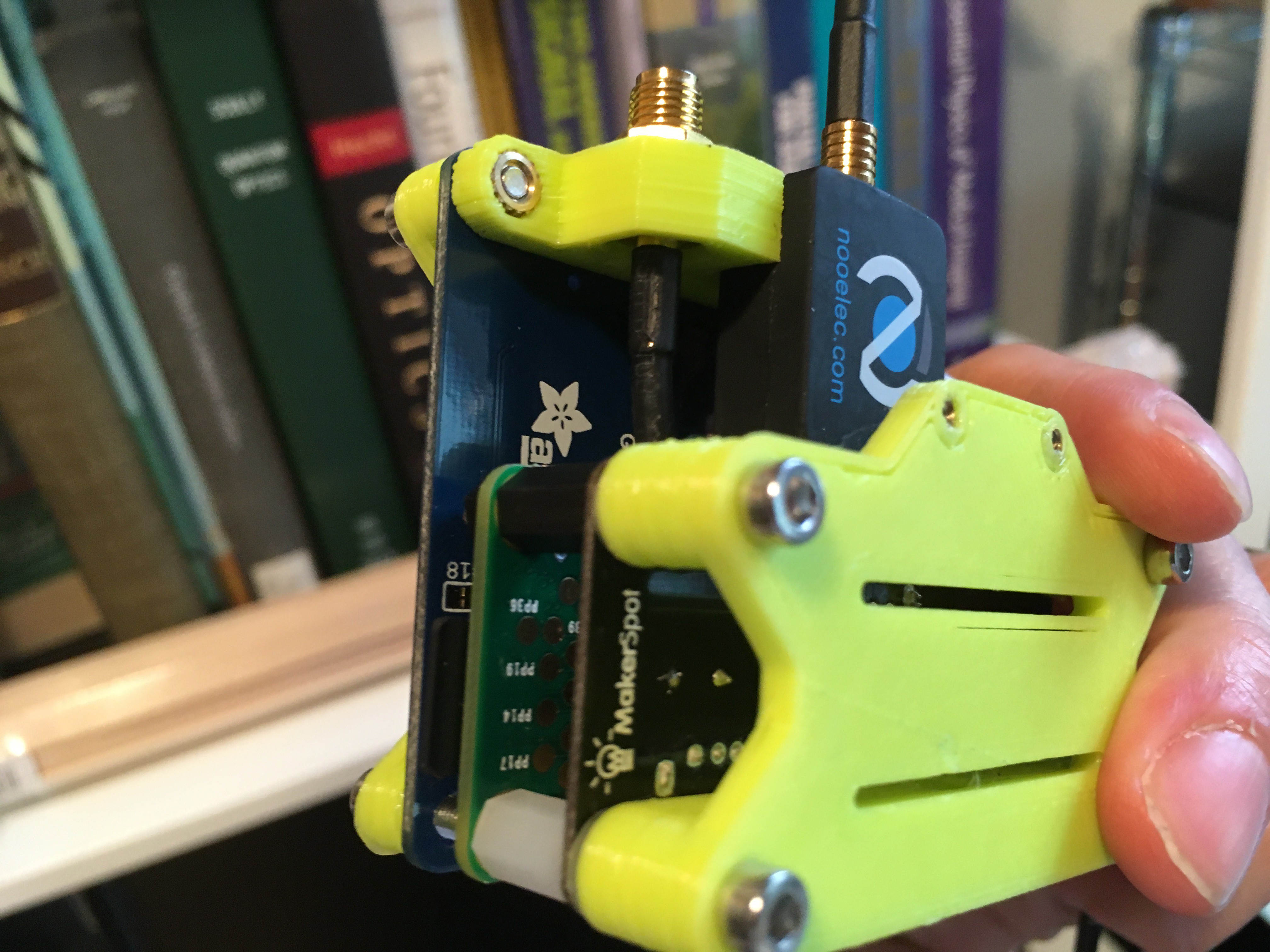
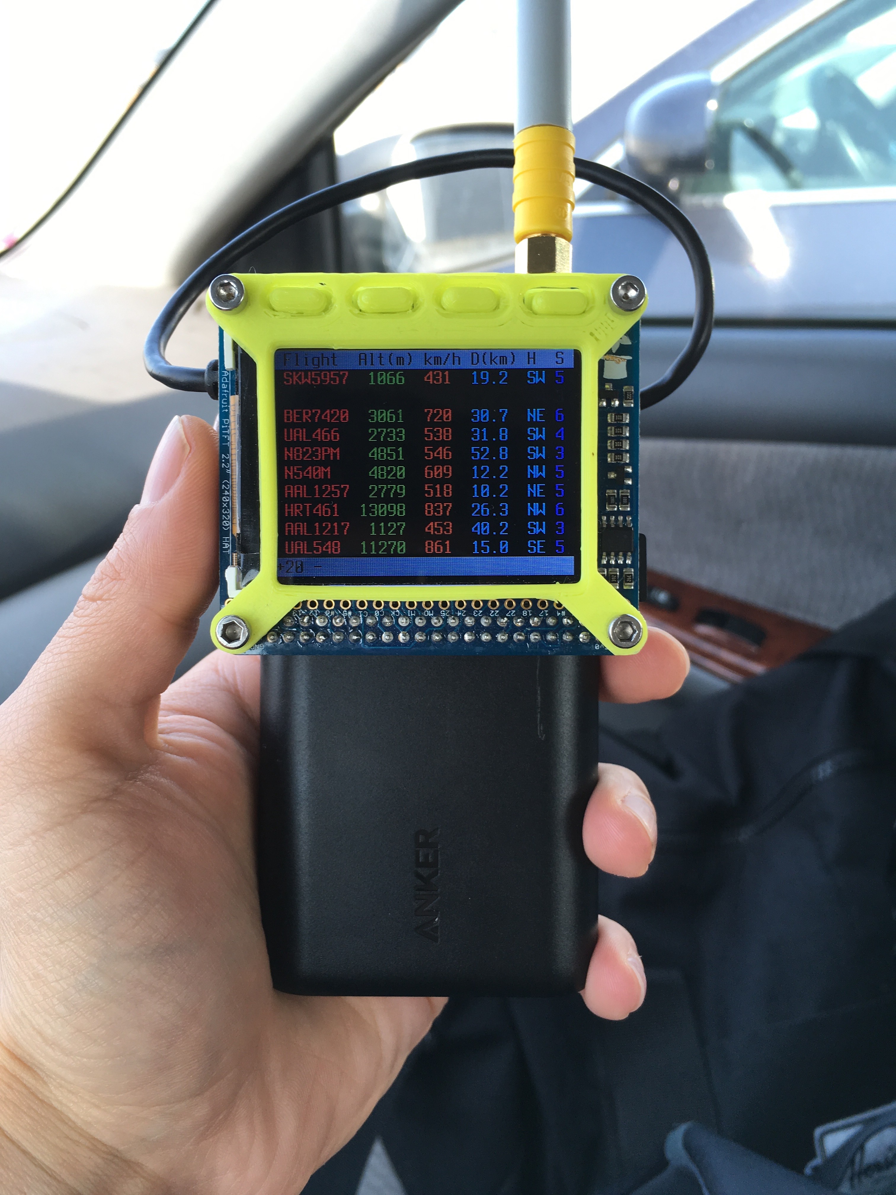
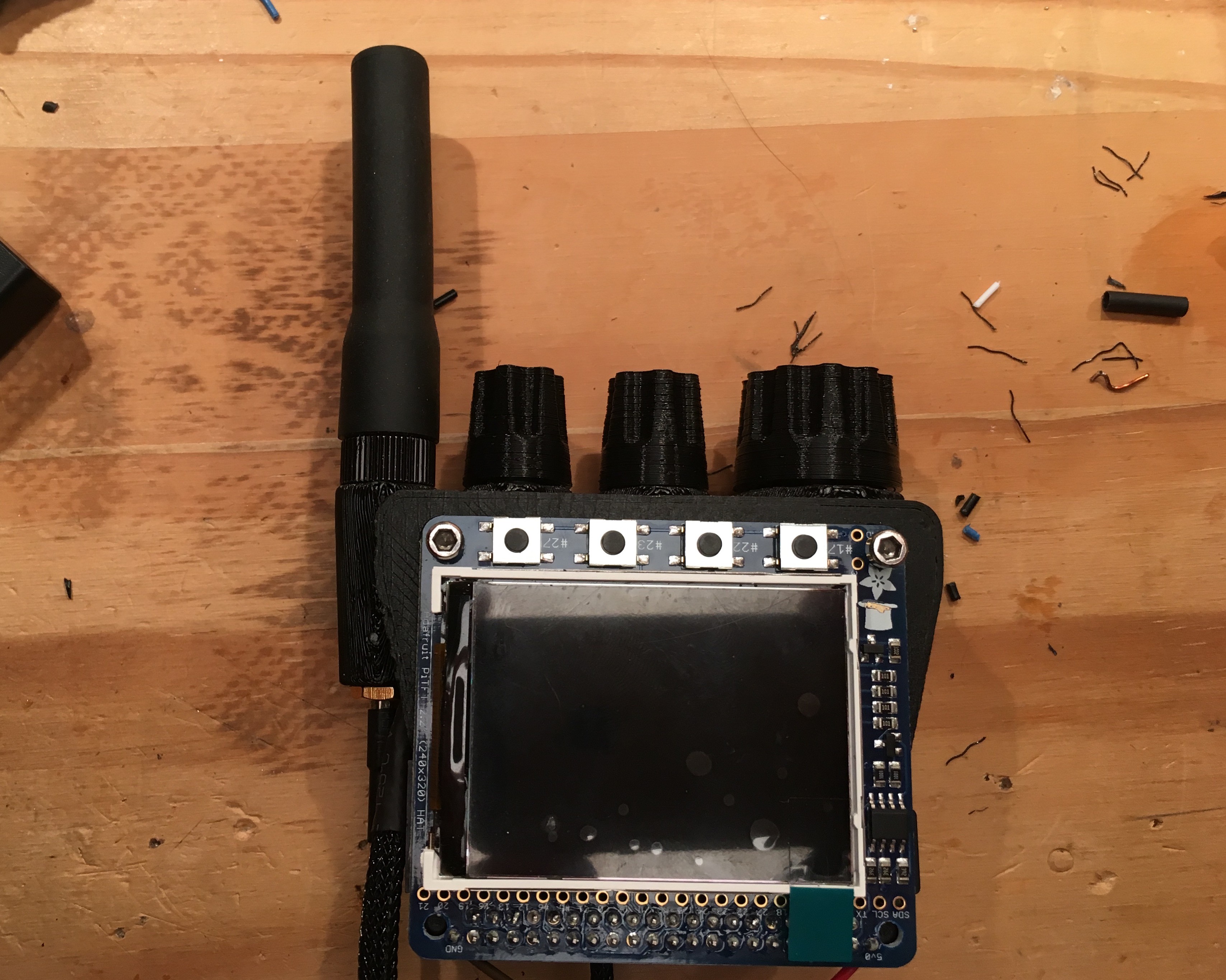


Nice project. What sort of range are you seeing with the Nooelec antenna at ground-level?
Are you planning to release the code? STLs?
73
Gerry